Aerial photography and cinematography for agriculture, oil & gas, real estate, and tourism across Alberta. Flying DJI since the Phantom 2, now shooting 6K on the Mavic 4 Pro. Transport Canada Basic RPAS certified, flown by a working DP/cinematographer, not a hobbyist.
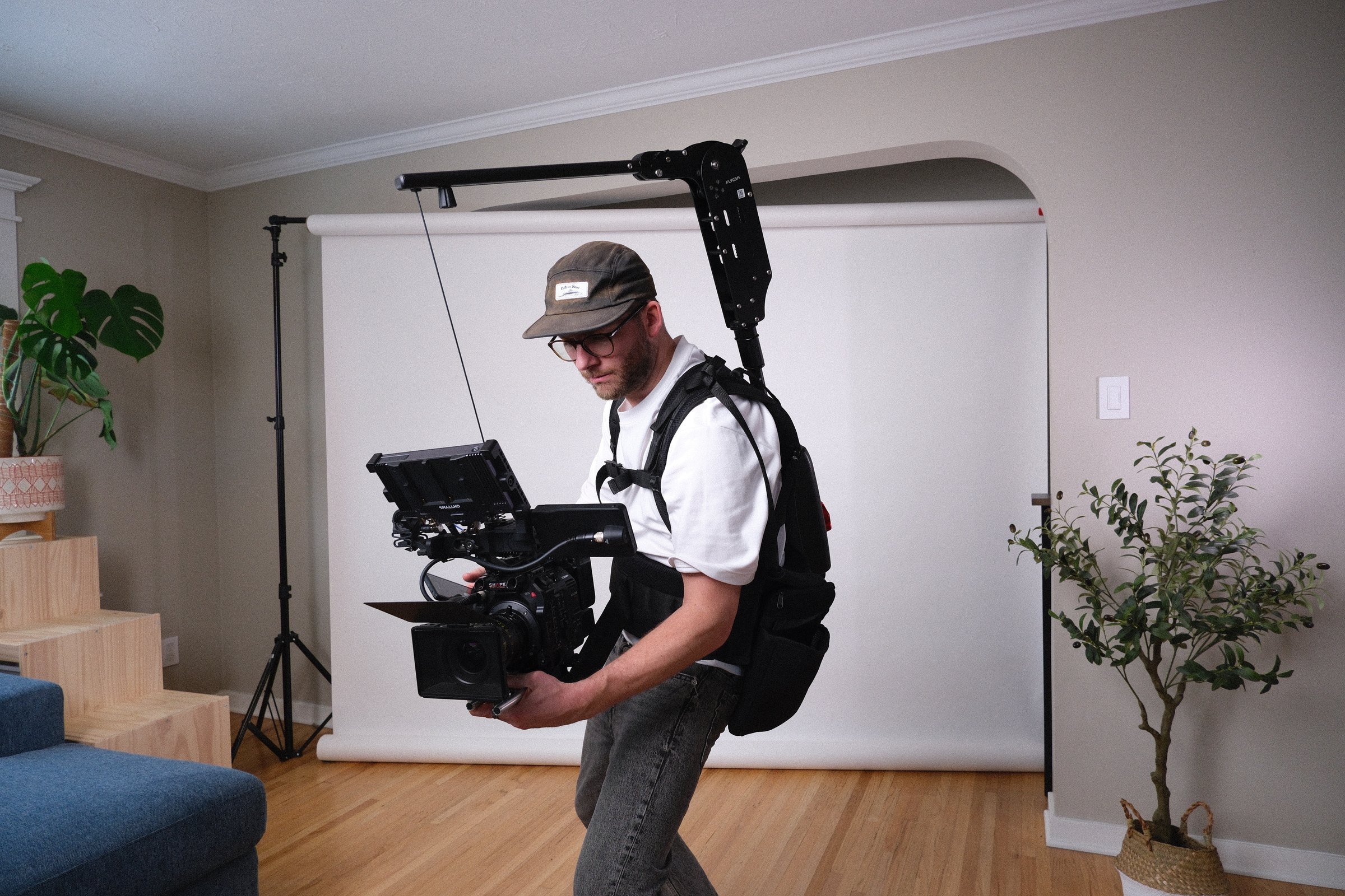
The difference between a drone shot and an aerial that elevates a film is whoever is flying it. Because I'm a Director of Photography first, the aerials I capture are framed, exposed, and moved to cut together with the ground footage: same look, same grade, one cohesive piece.
Ten-plus years of flying and a Transport Canada Basic RPAS certification mean safe, legal, and professional aerial work for the location and landscape shooting most productions need, across Calgary and all of Alberta.
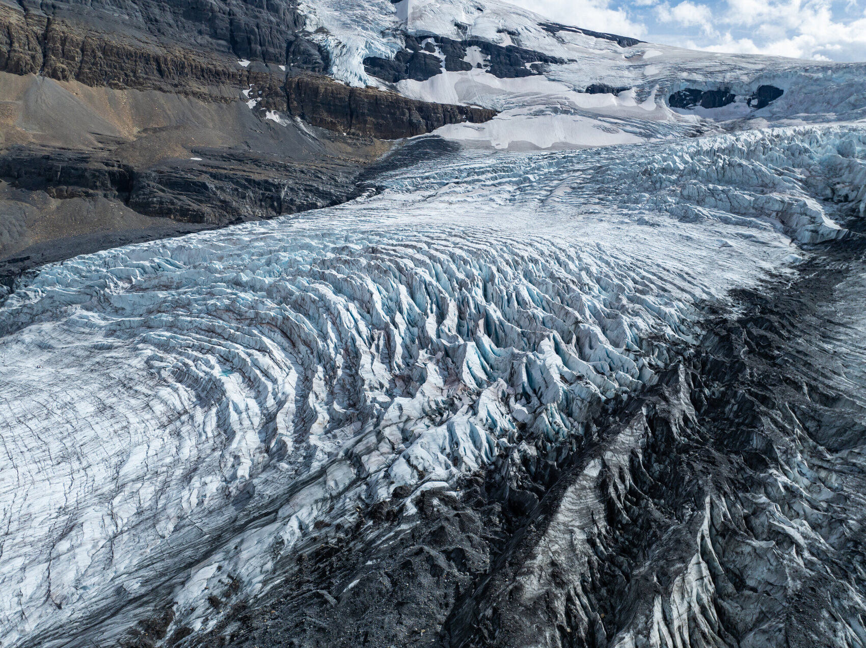
Flying over the Athabasca Glacier →
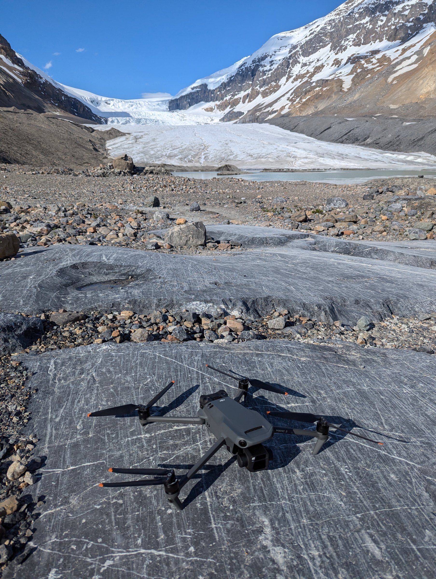
Transport Canada Basic RPAS certified with 10+ years flying, from the original DJI Phantom 2 to today's Mavic 4 Pro. Professional and safe on every shoot.
The Mavic 4 Pro shoots 6K H.265 at up to 1200 Mbps across three focal lengths, graded to match my Canon cinema package so everything cuts together.
Hire me for a dedicated drone job, aerial photography or video, or add aerials to a larger production. Whatever the project needs.
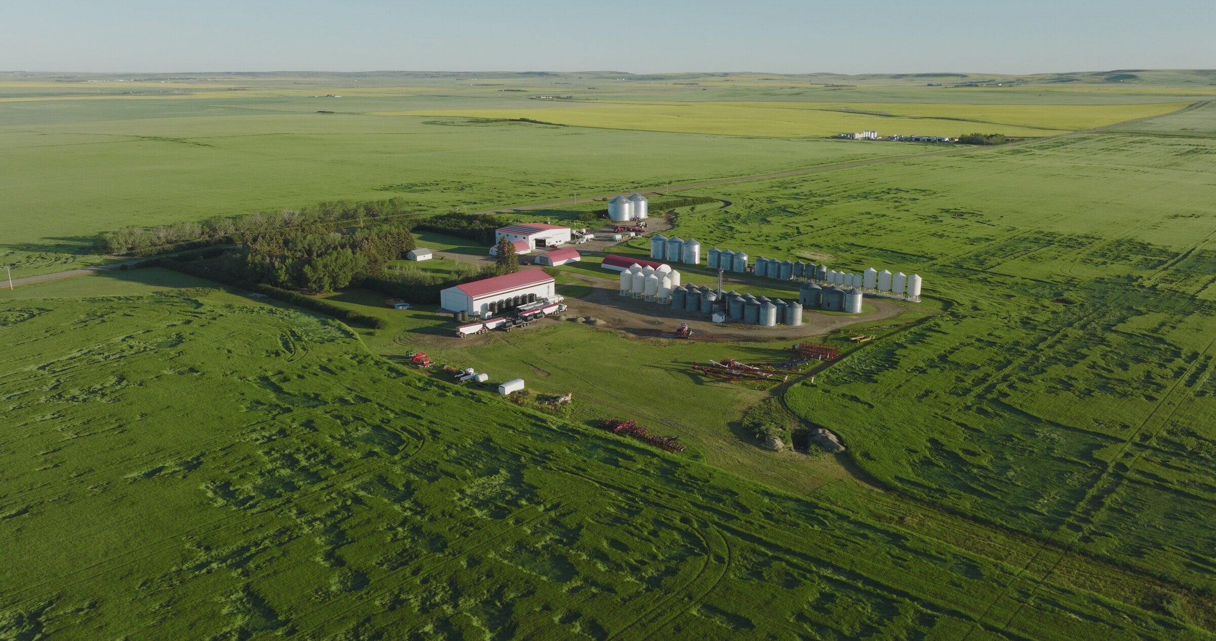
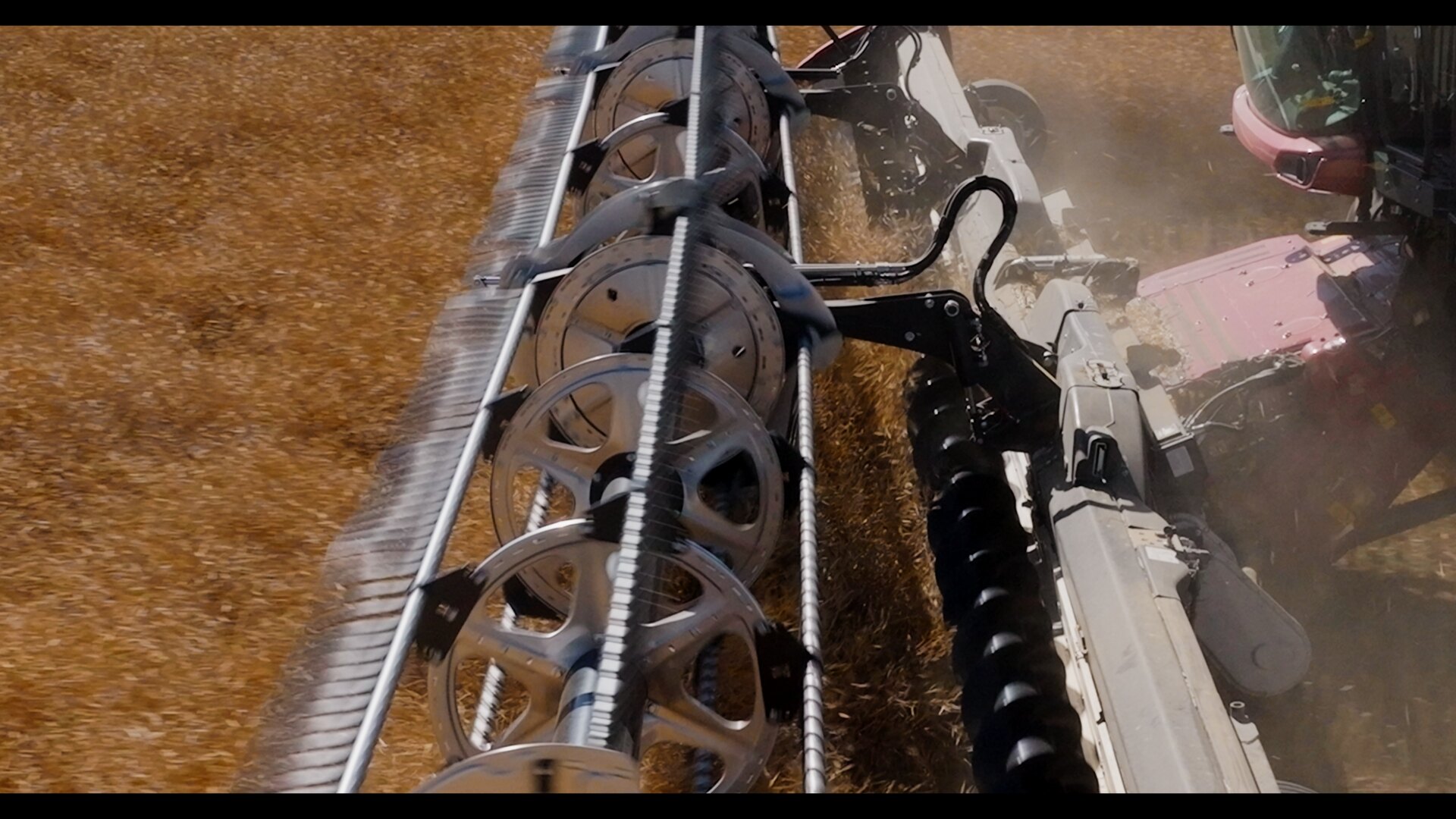
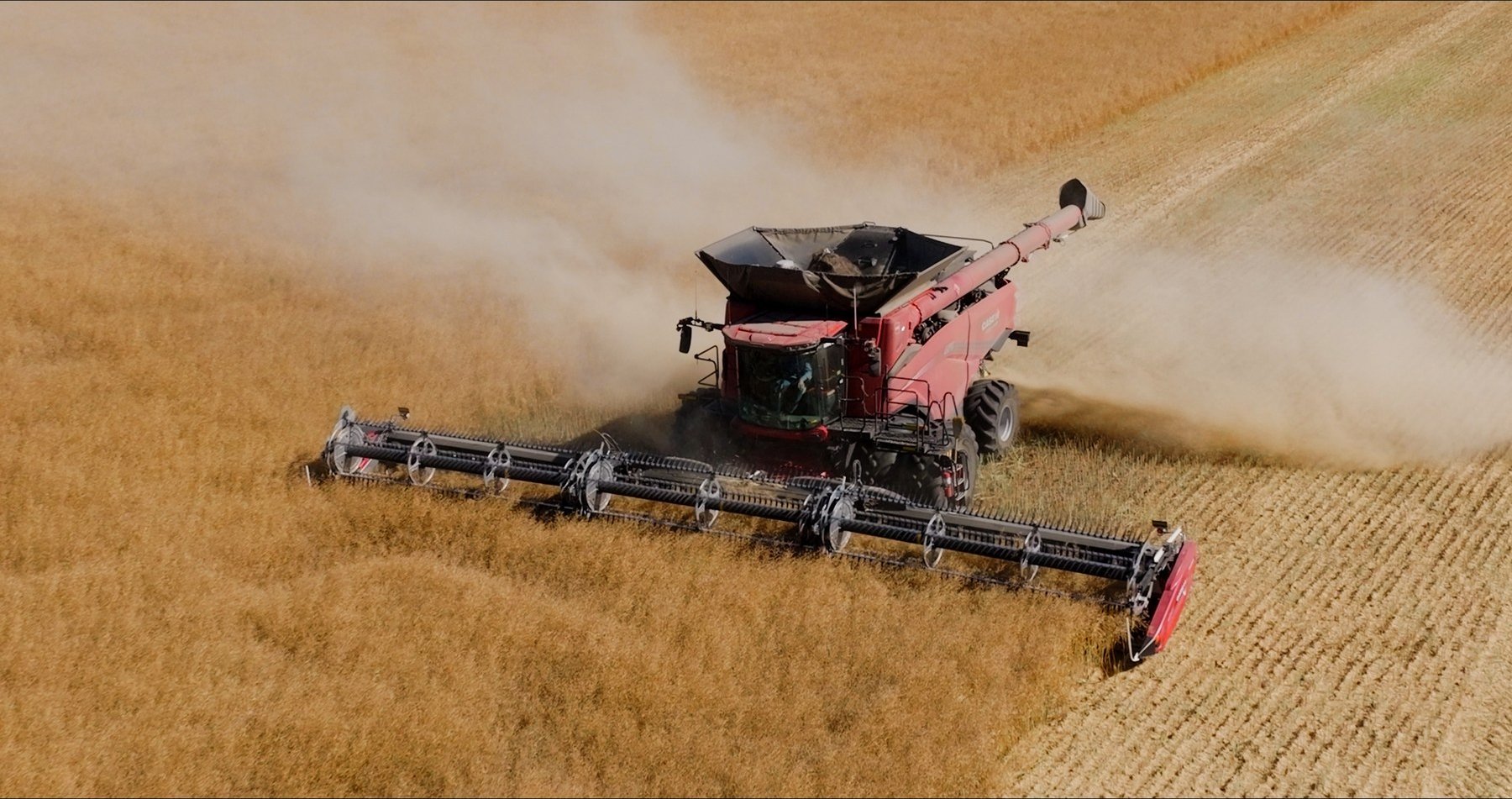
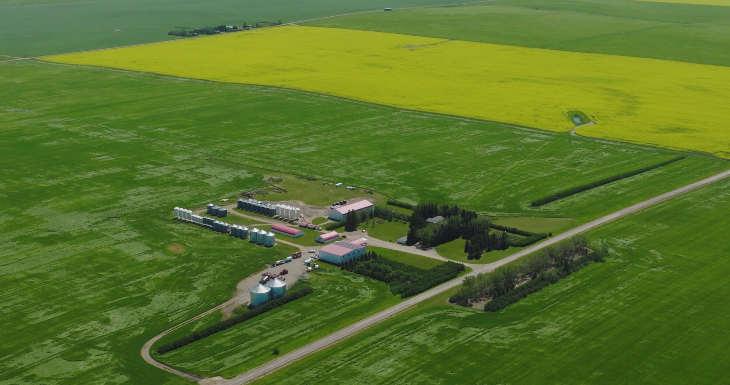
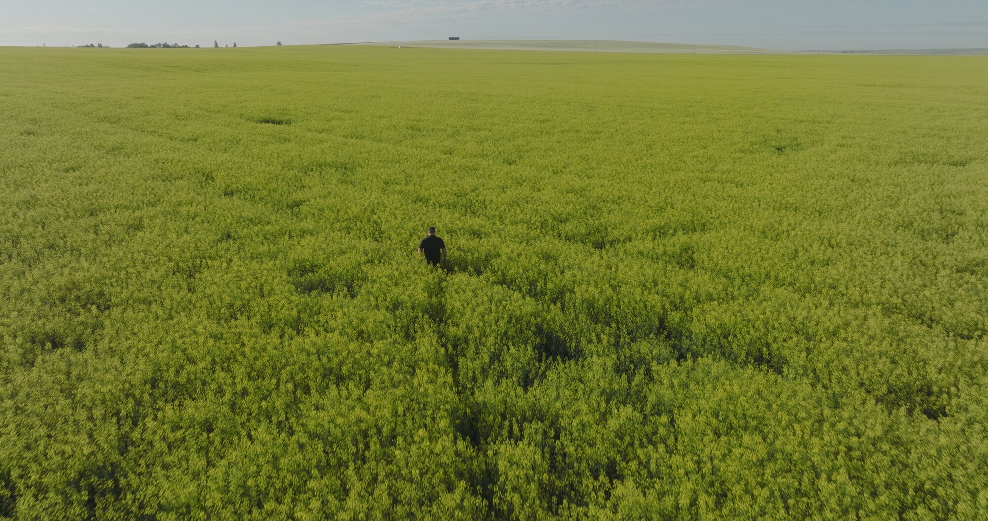
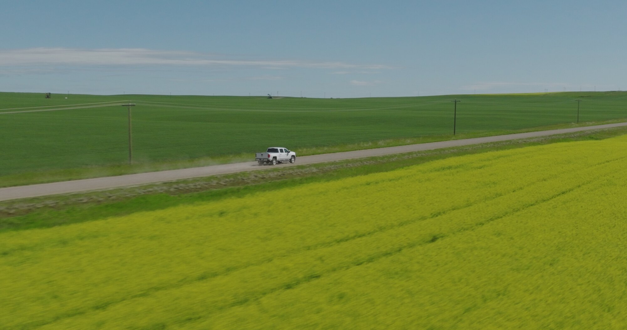
Canola in full bloom, harvest from above, ranch operations against the foothills: agriculture is where Alberta looks best from the air. I shoot aerial photography and video for farms, ranches, seed and equipment brands, and agri-business marketing, including campaign work for Nutrien and a Case IH combine harvest shoot that ran wall to wall with drone coverage.
Crop progress documentation, harvest films, brand campaigns, or a single hero image of the home quarter: if it grows or grazes in Alberta, I can film it.


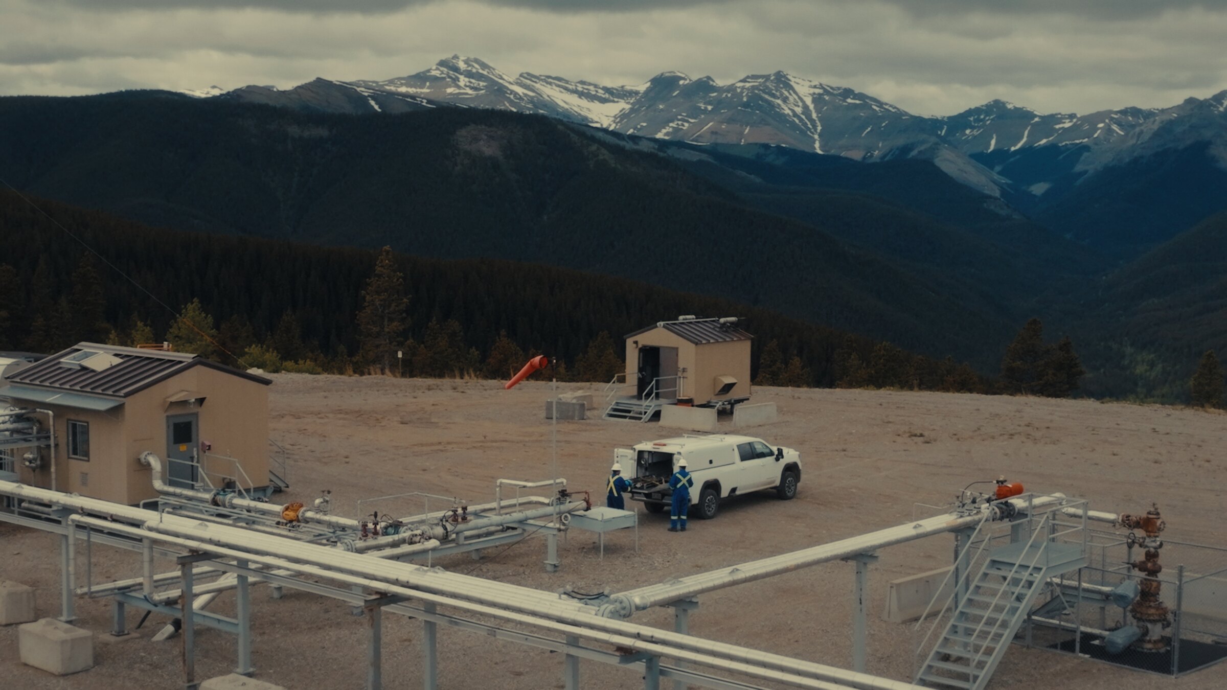
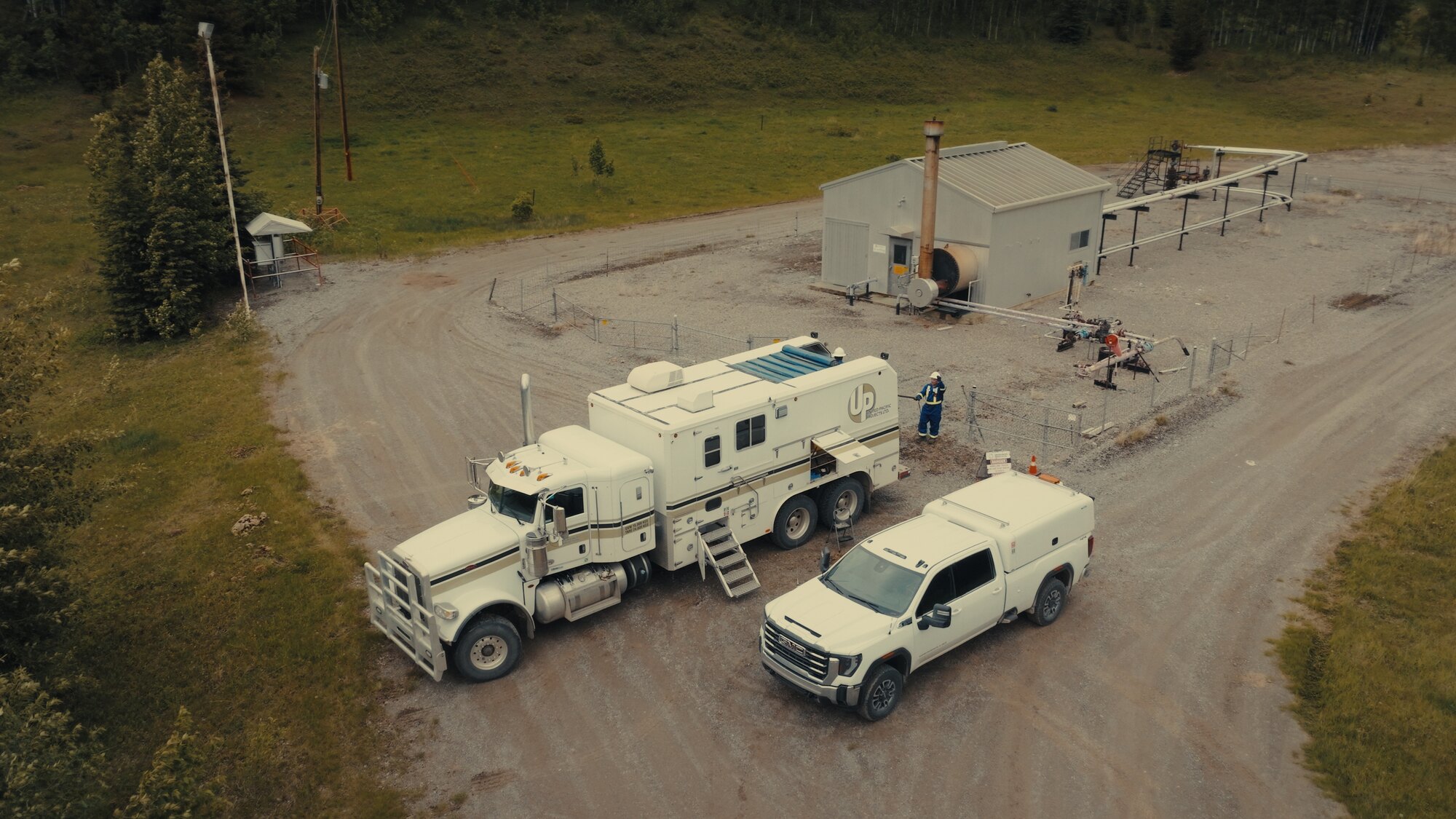
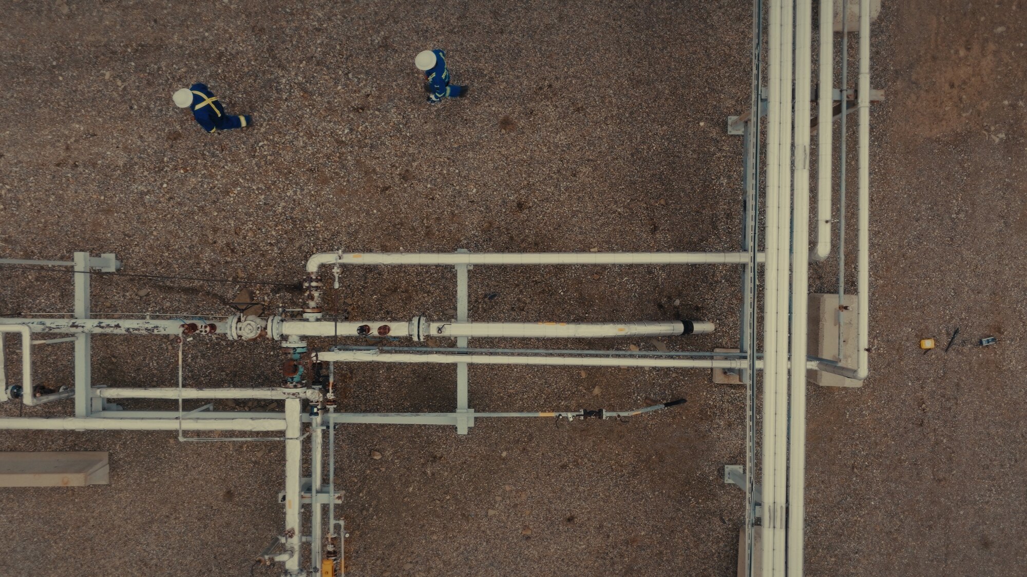
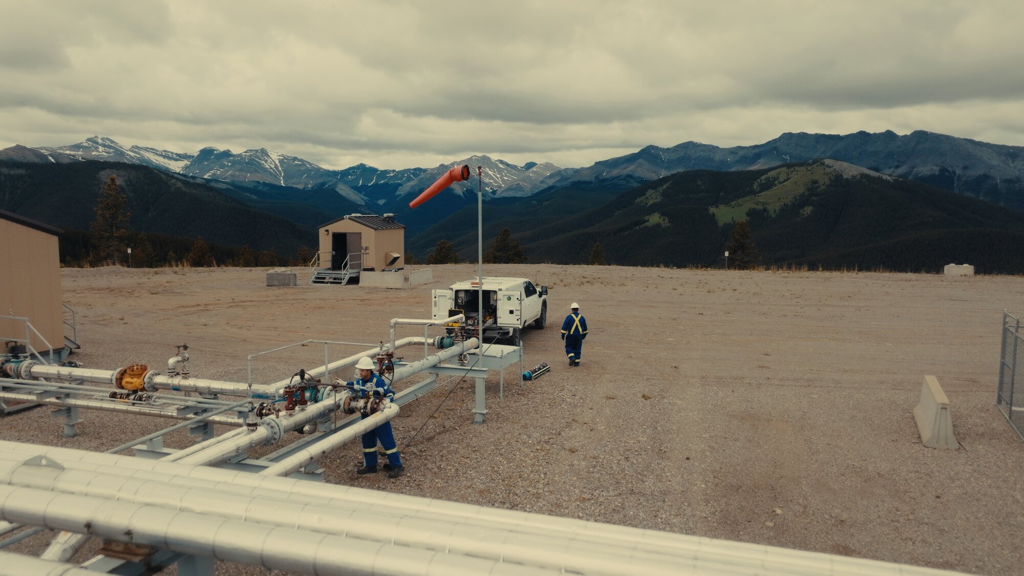
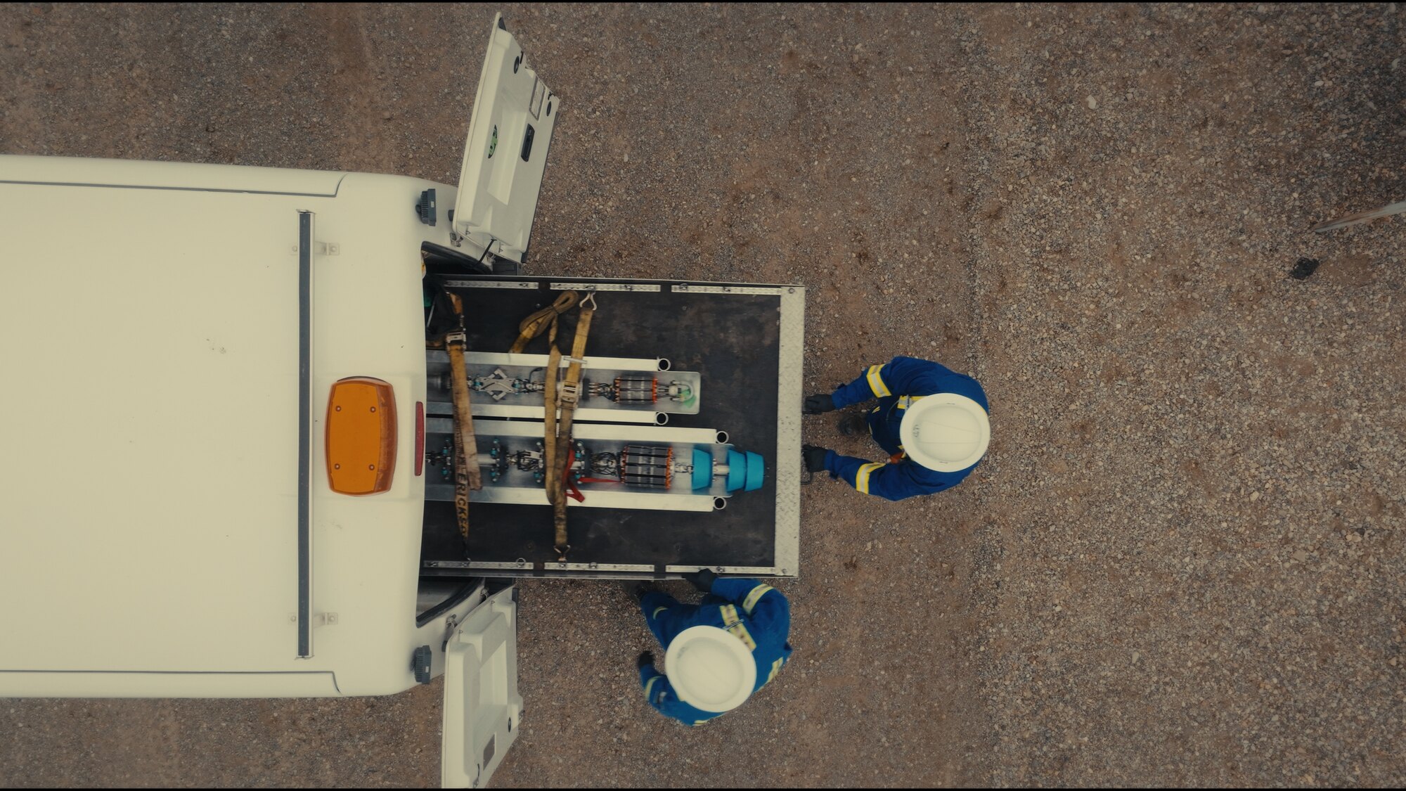
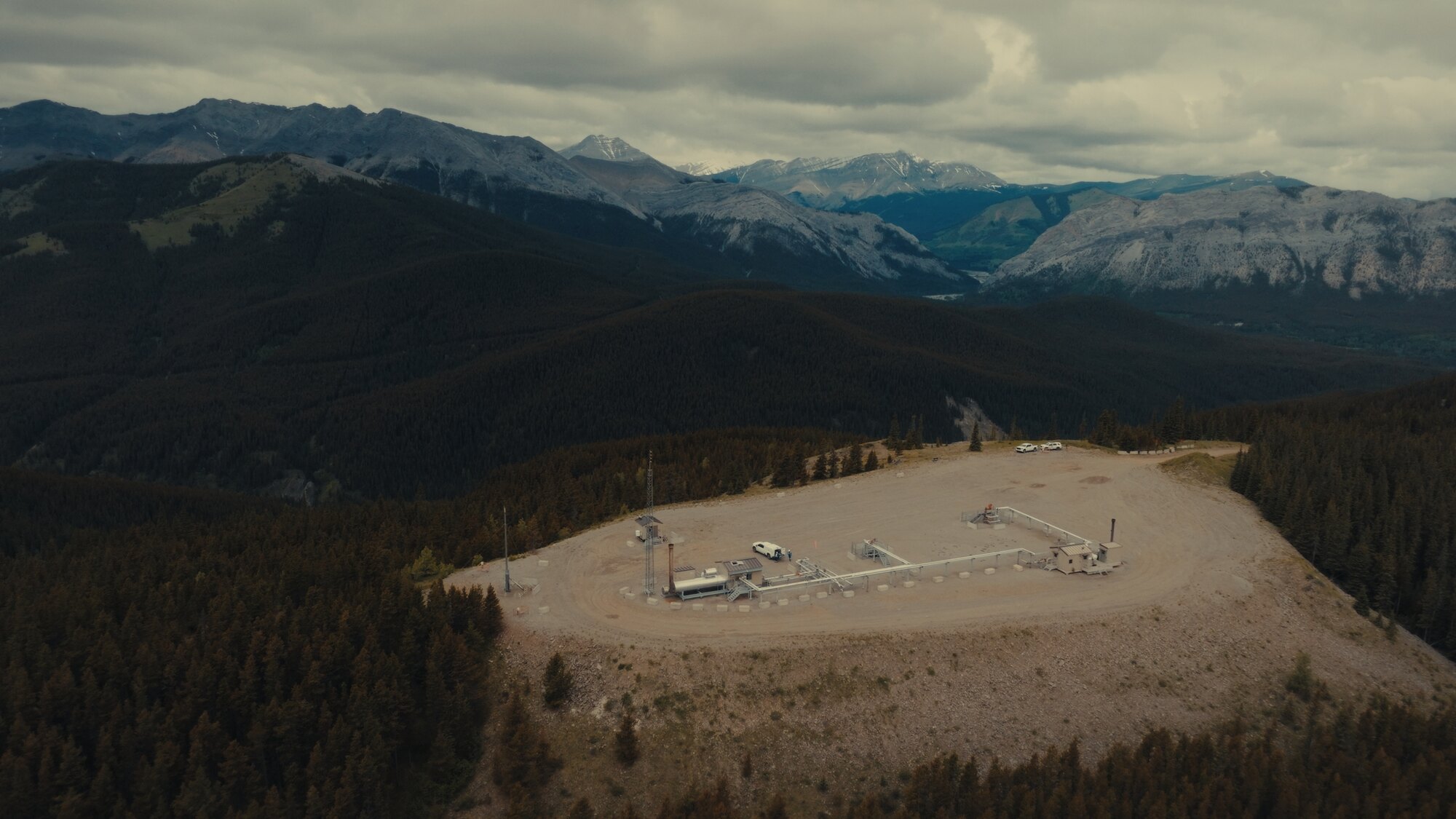
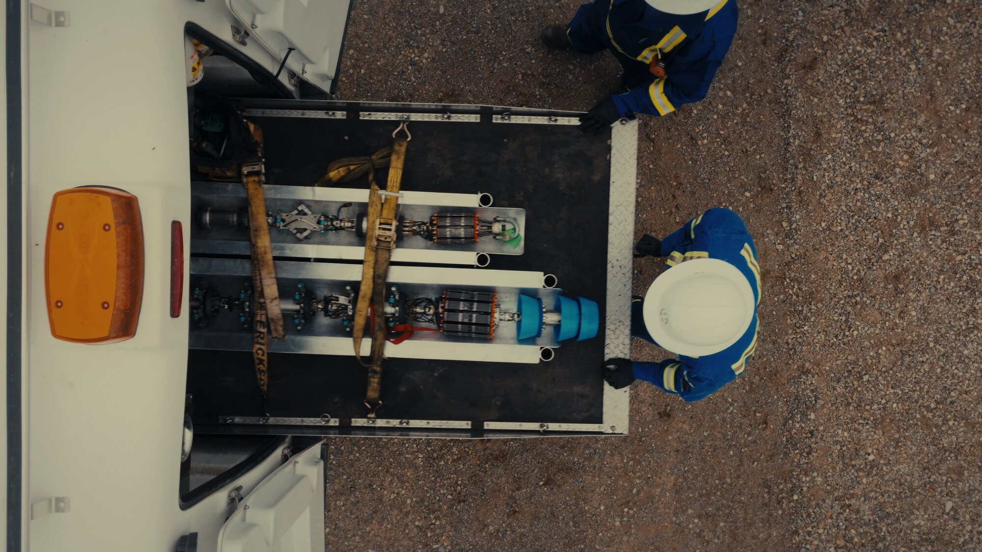
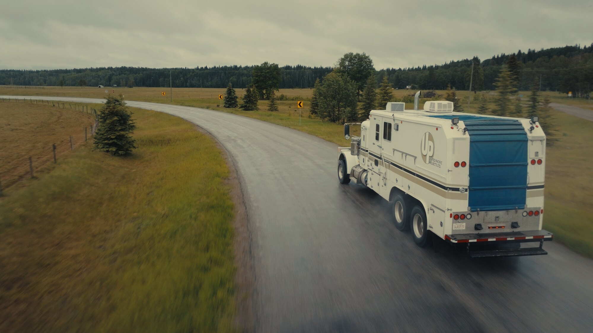
Wellsites in the foothills, pipeline rights-of-way, remote pads a helicopter would charge a fortune to reach: drone coverage is the practical way to document energy operations in Alberta. I shoot aerial photography and video of field operations, facilities, and crews at work, framed like a film rather than a survey.
Project documentation, safety and recruitment films, investor and stakeholder content, or top-down detail of equipment in operation. Comfortable on live sites, briefed and escorted, with every flight planned and legal.


This is the drone work I love most: aerials inside commercials and branded content, where the drone is another camera rather than a novelty. The Hankook tire commercial, the Onewheel spec spot, small business advertising across Calgary: flown by the same DP who lit the ground coverage an hour earlier, so it all cuts as one piece.
Drone op for your production, or aerials as part of a full DCFOTOFILM shoot. If you're building a complete production, start with the commercial video page. The aerials come with me.
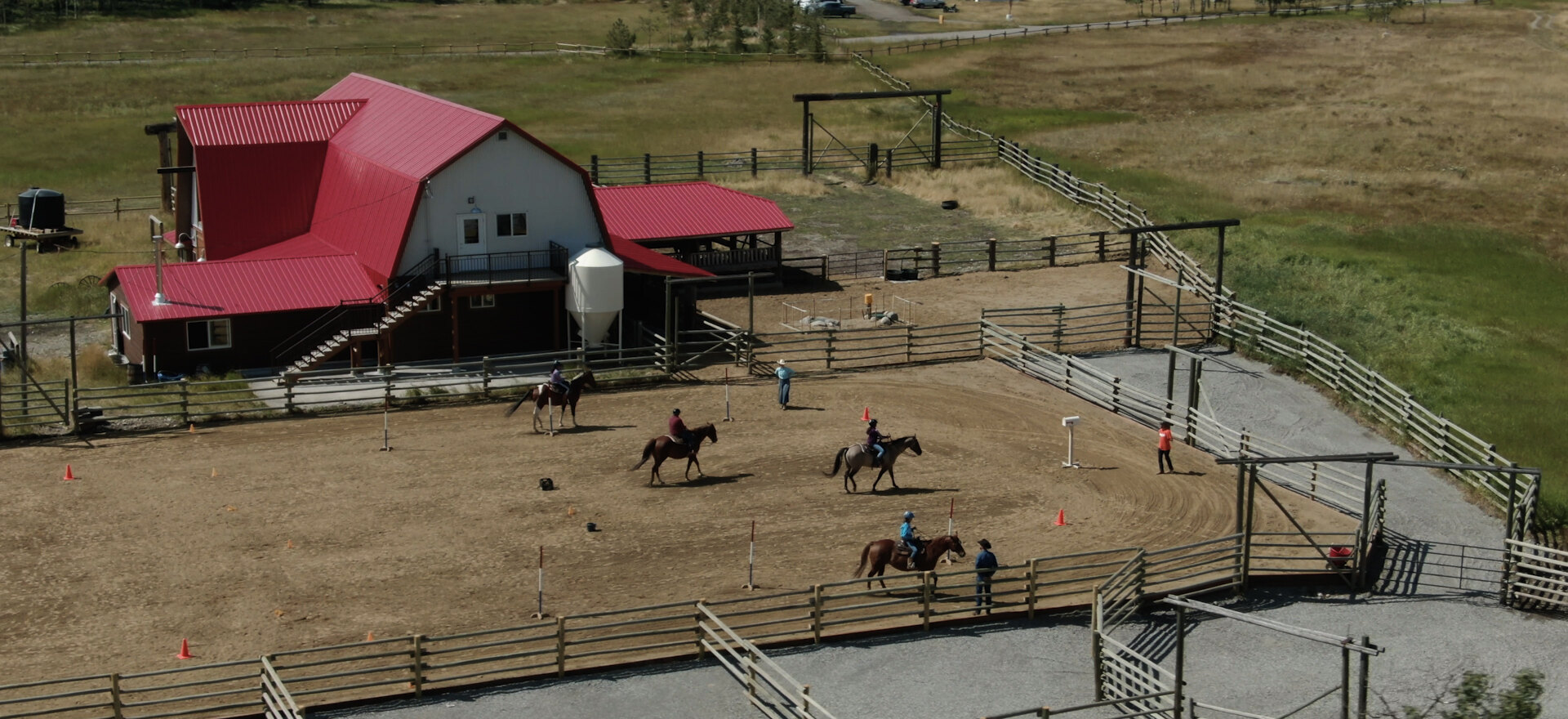
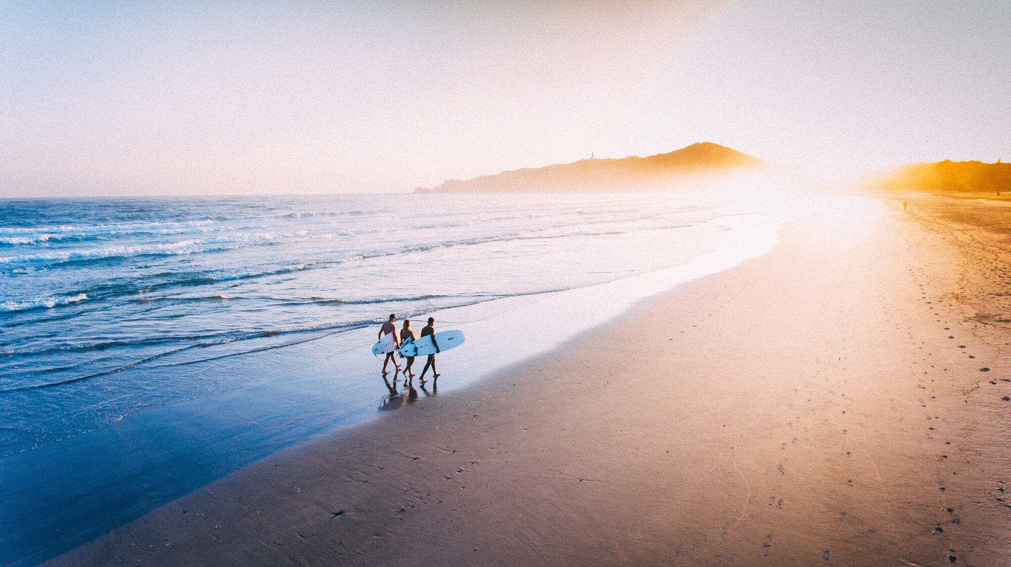
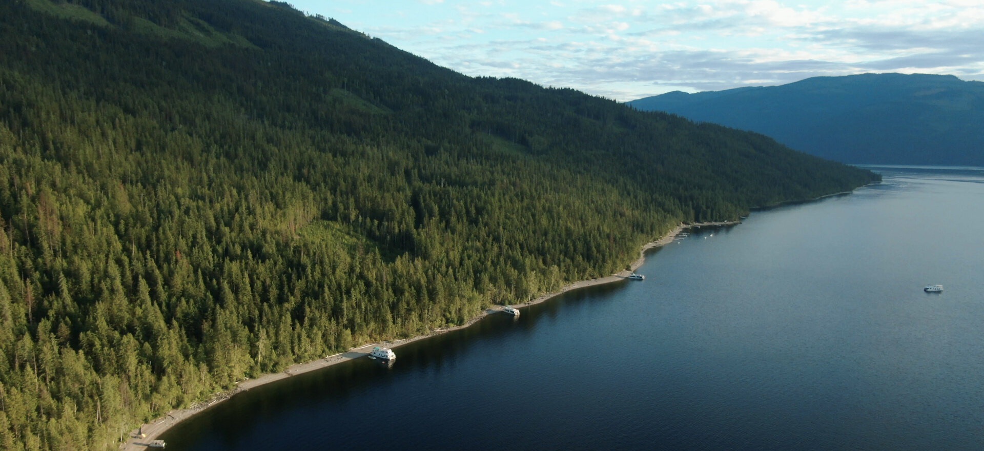
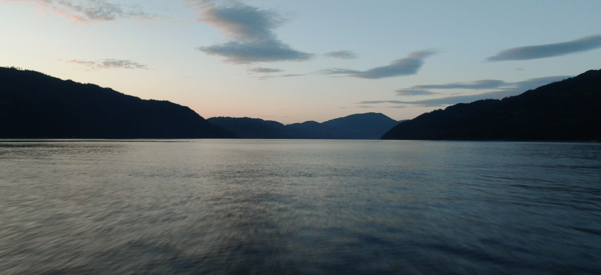
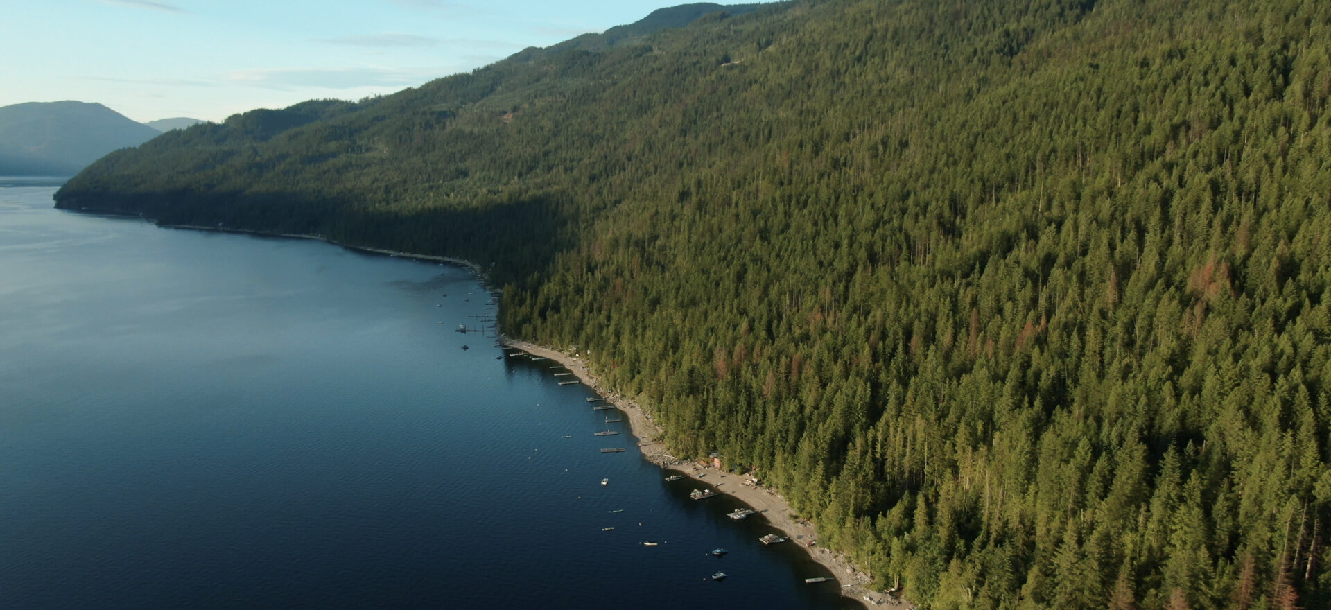
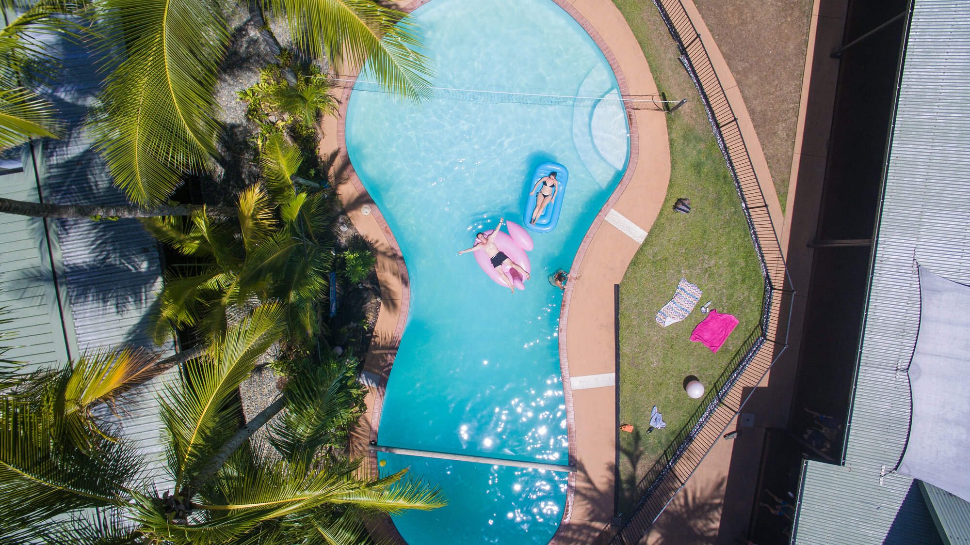
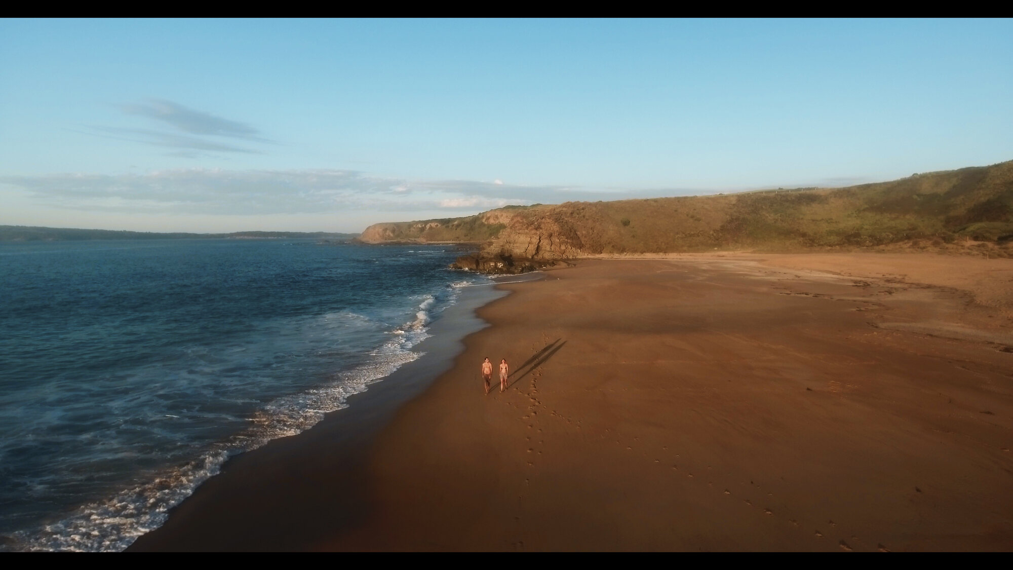
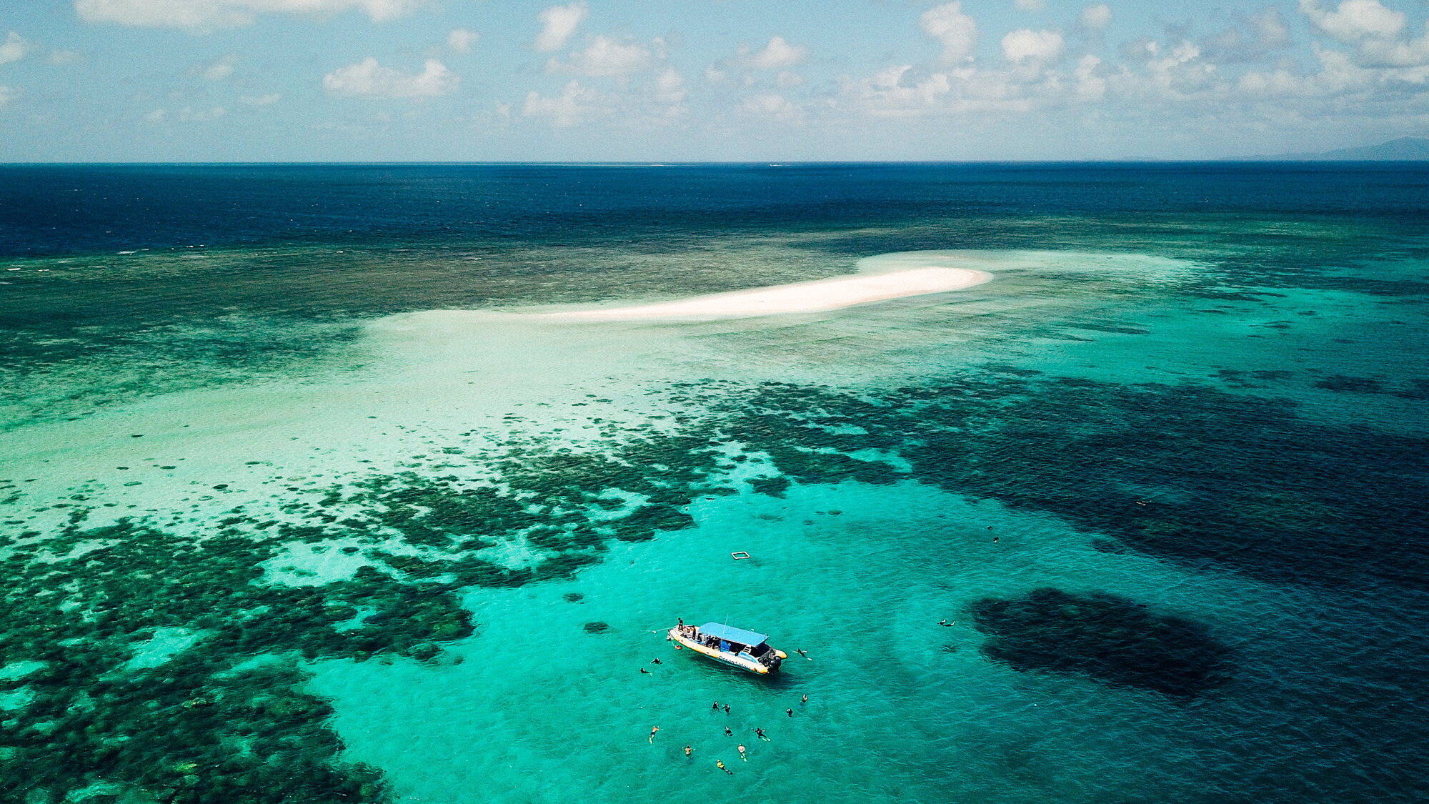
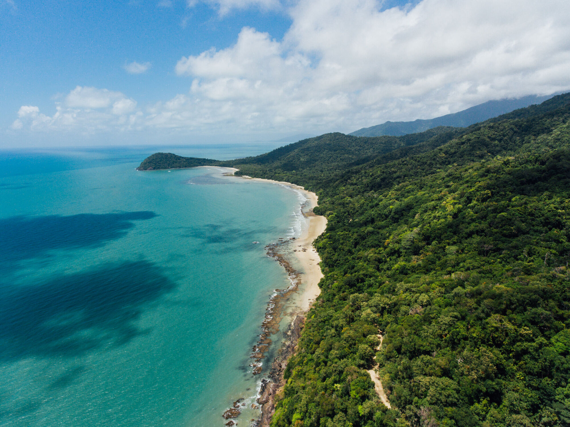
Tourism is where my drone career started, and it's still the work I love most. Lakes, mountains, resorts, and the small operators who live off a great first impression: an aerial is usually the single image that makes someone book. My tourism clients have included Travel Alberta, Visit Bragg Creek, and tourism brands across Australia.
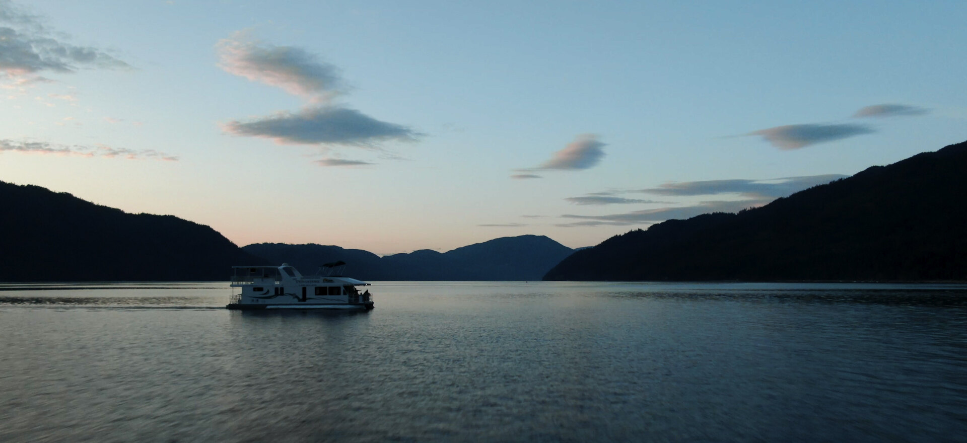
Destination films, resort and lodge marketing, houseboat and lake tourism, campaign stills. Shot in 6K so one flight delivers both the film and the photography.


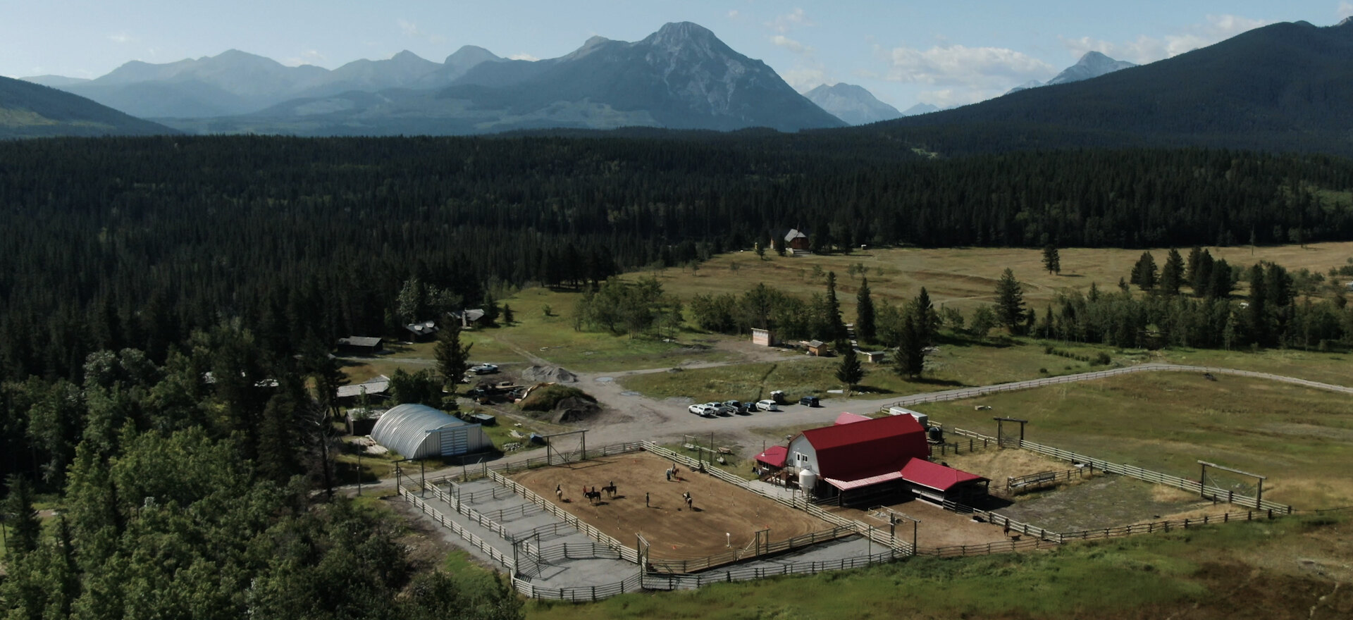
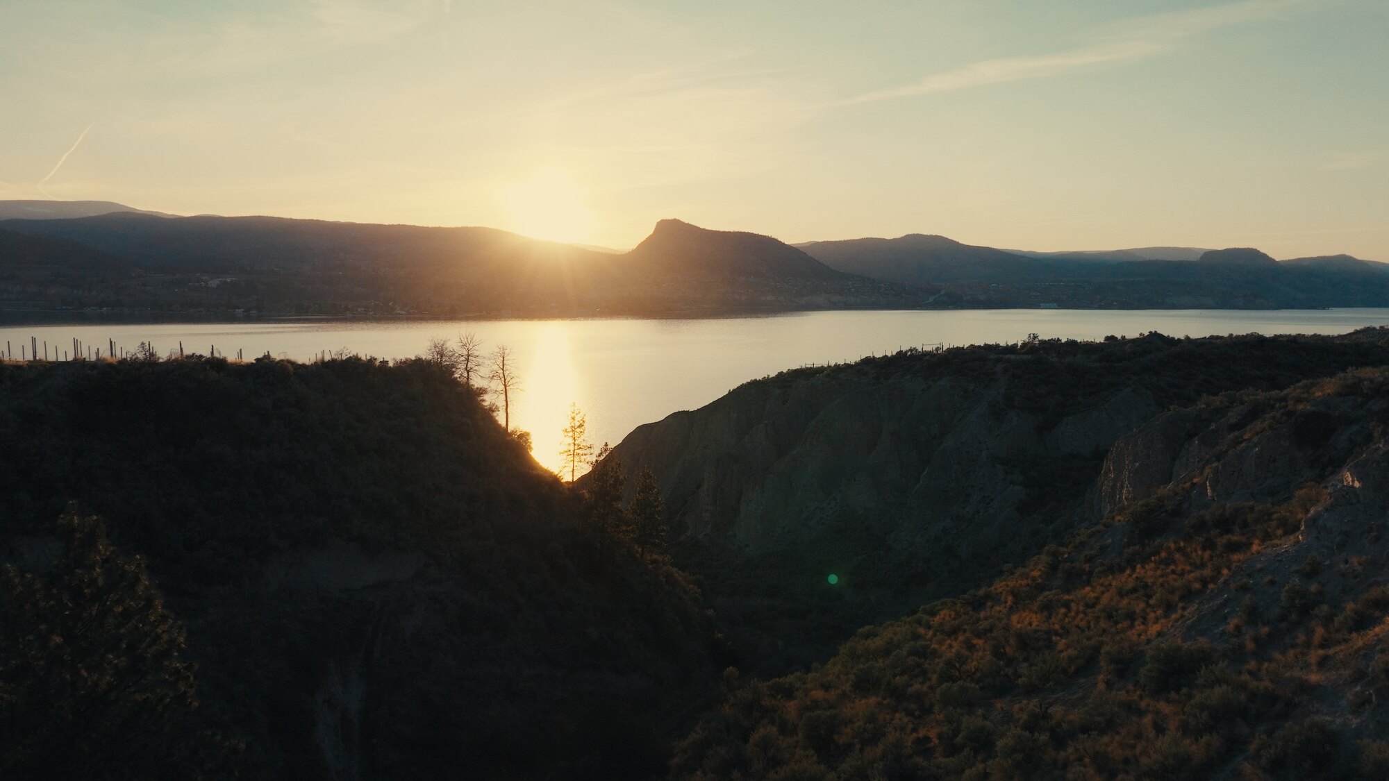
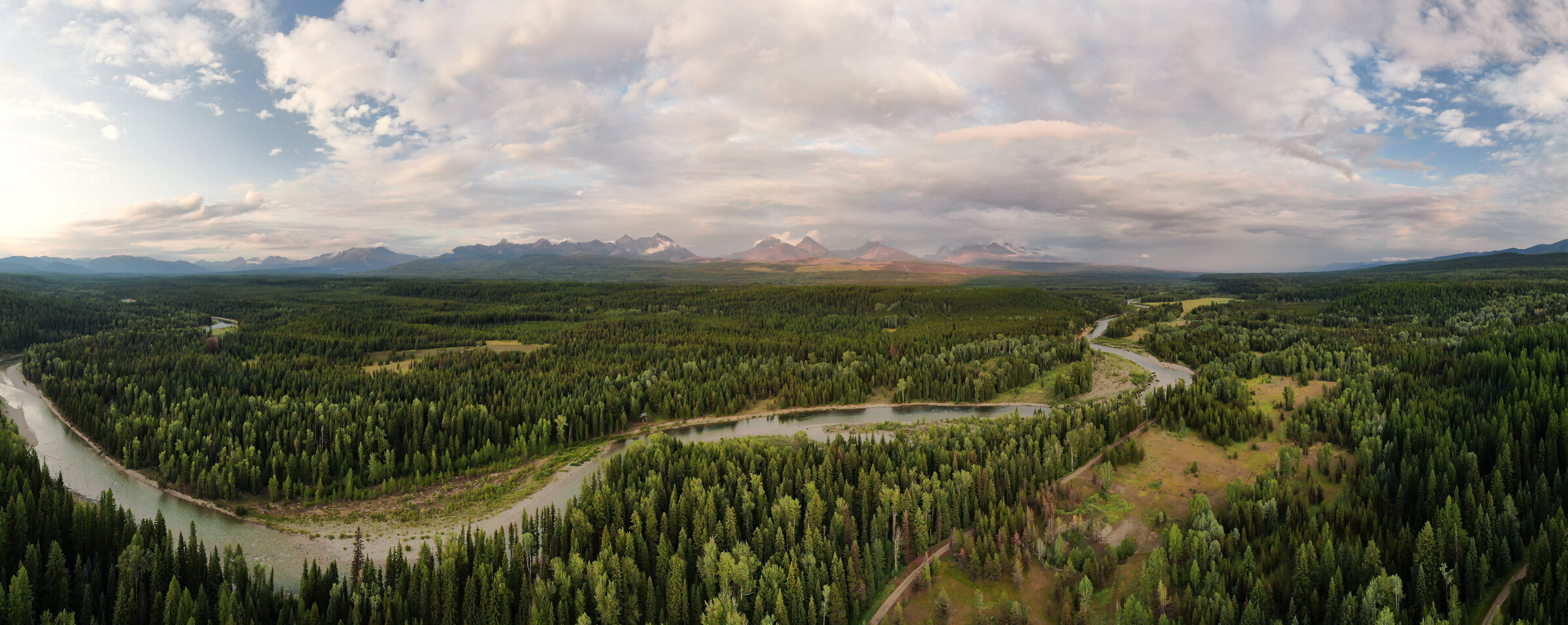
Documentary is where an aerial earns its place or gets cut: it has to say something about scale, isolation, or place. This is the drone work inside the grizzly documentary for ARTE TV, Wild Ice on frozen mountain lakes, and wilderness stories like the Flathead Valley above, flown quietly and legally in country where access is half the job.
If you're building a documentary, start with the documentary page. The aerials come with me.
Aerial photography sells property because it answers the questions a ground photo can't: where it sits, what surrounds it, and how it connects to the city. I shoot drone photography and video for residential and commercial listings, acreages, and development sites across Calgary and southern Alberta.
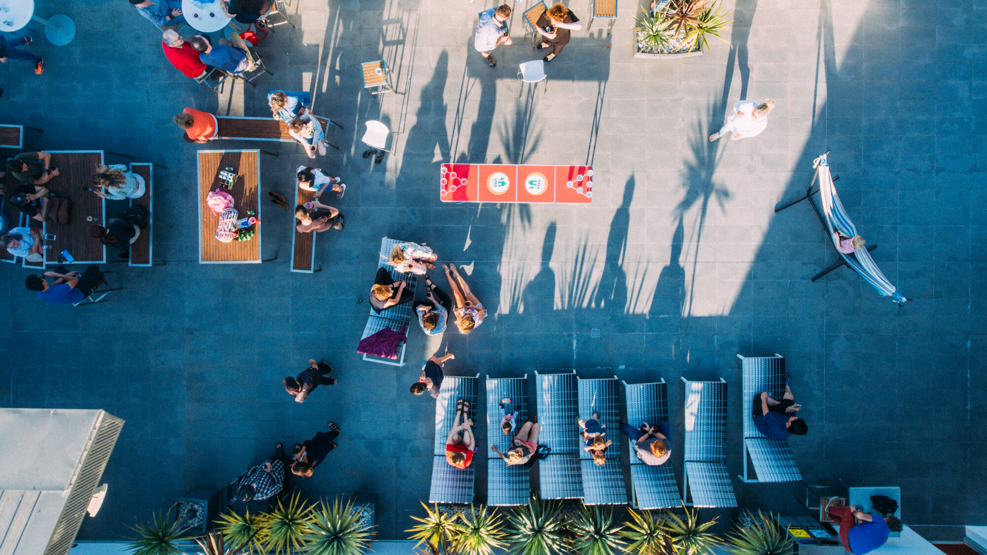
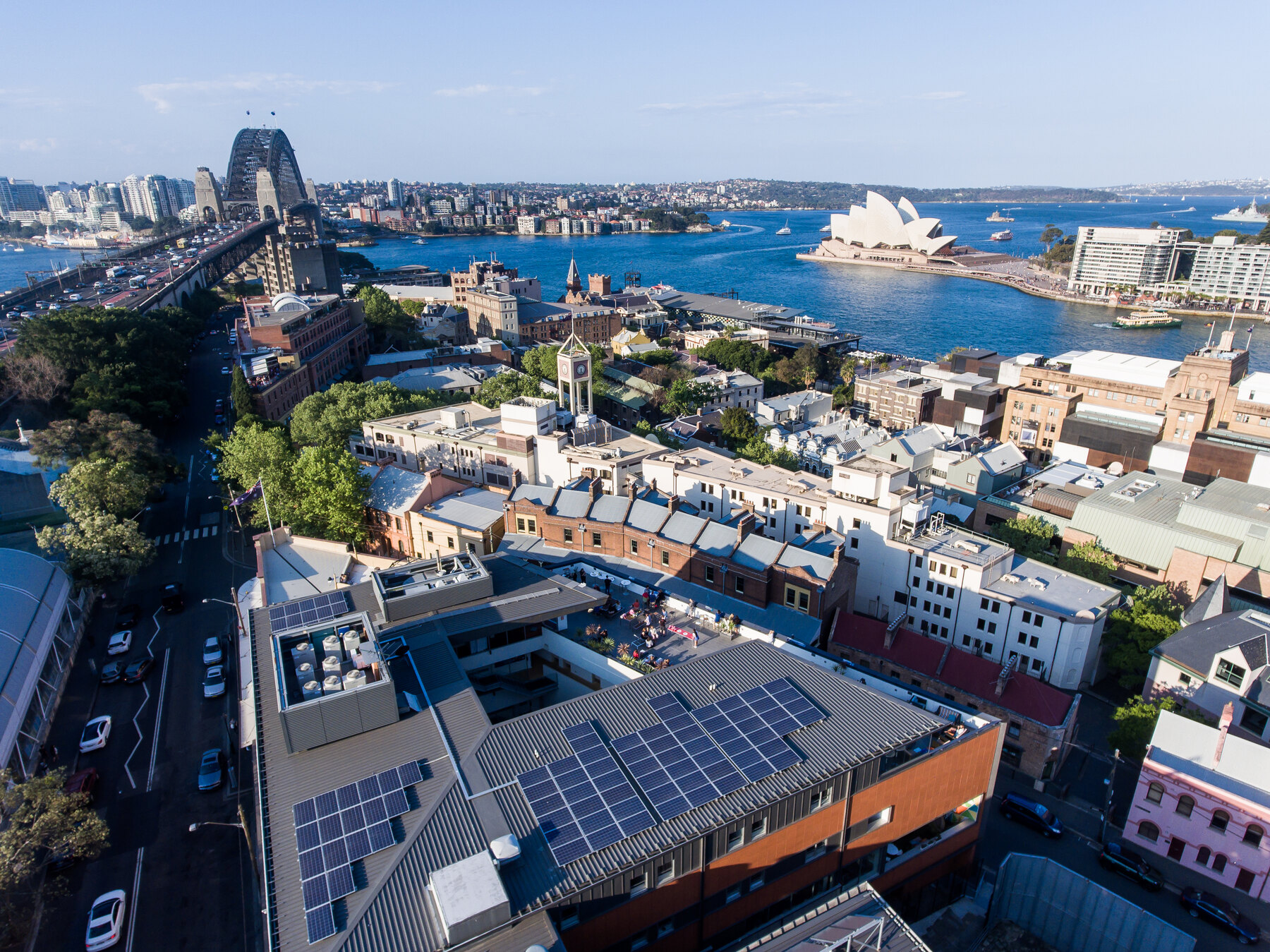
The frame beside this is the idea in one shot: photographed for Sydney Harbour YHA in The Rocks, it shows guests the rooftop patio, the Harbour Bridge, and the Opera House in a single image. Location is the product, and an aerial is how you sell it.
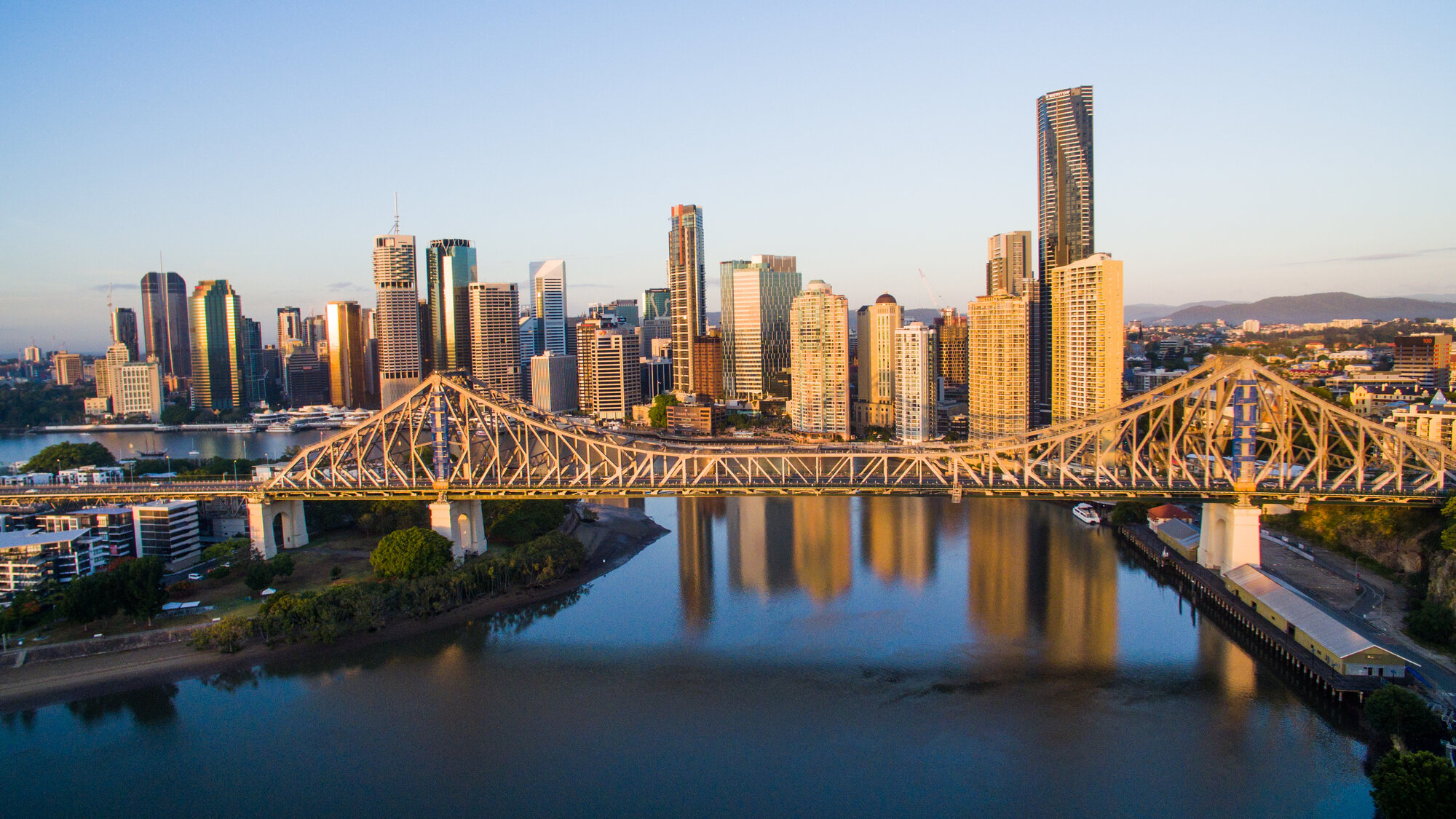
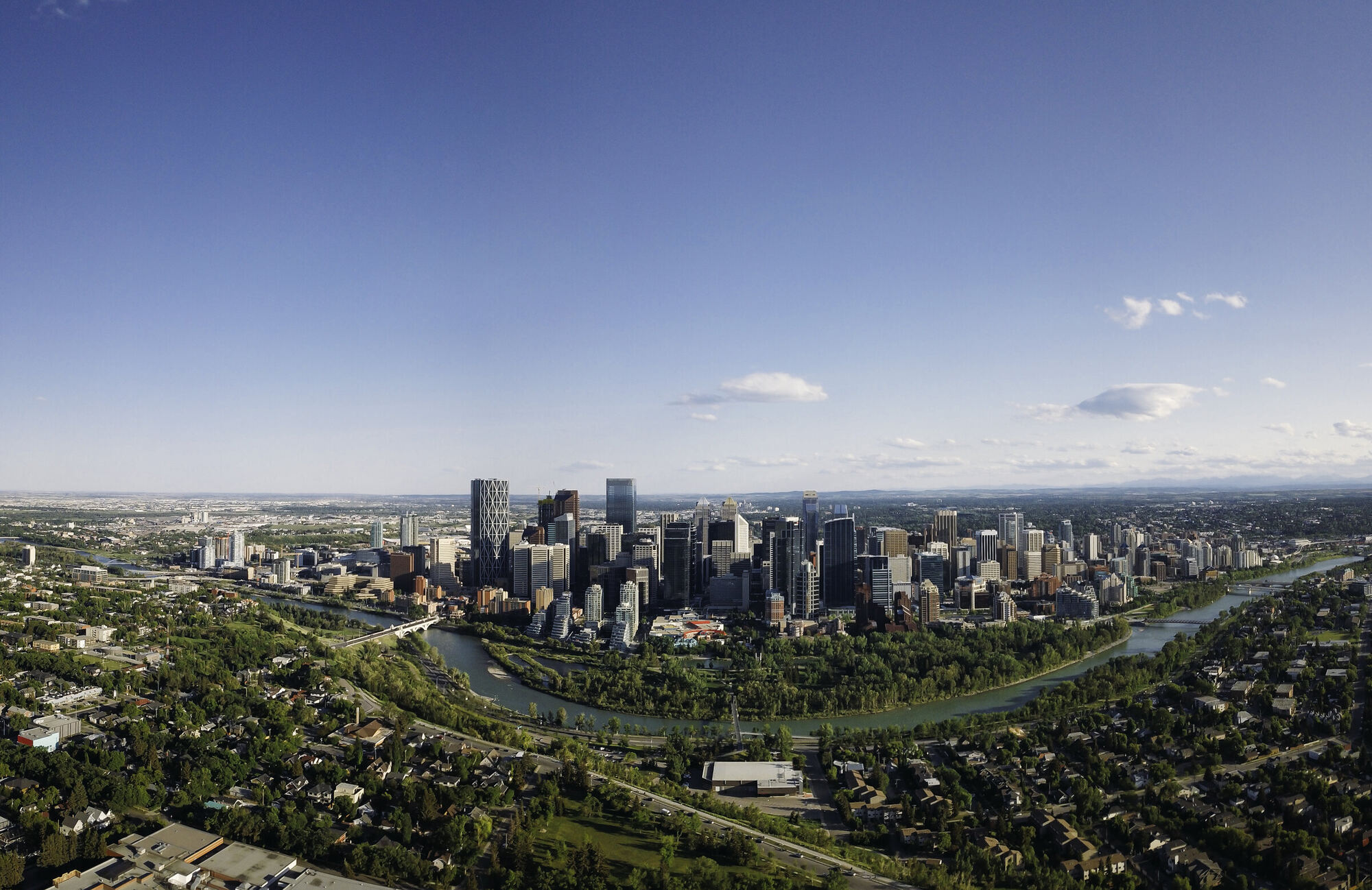
Listings, construction progress, site overviews for planning and marketing, and skyline context shots like the one at the top of this page. Fast turnaround, delivered ready for MLS, web, and print.
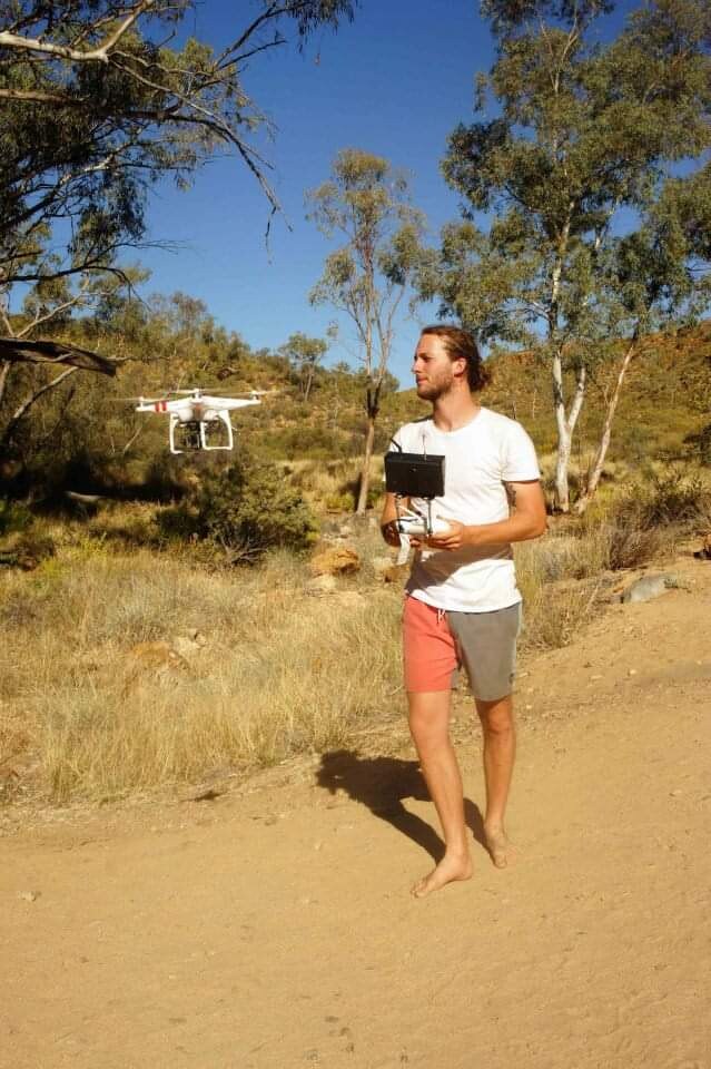
My drone career started in Sydney, Australia, with a DJI Phantom 2 bought out of the back of a car. DJI wasn't on store shelves yet, so a friend importing them was the only way in. That drone carried a GoPro on a Zenmuse gimbal, and you supplied your own video transmitter, monitor, and antenna, then hoped for the best feed possible.
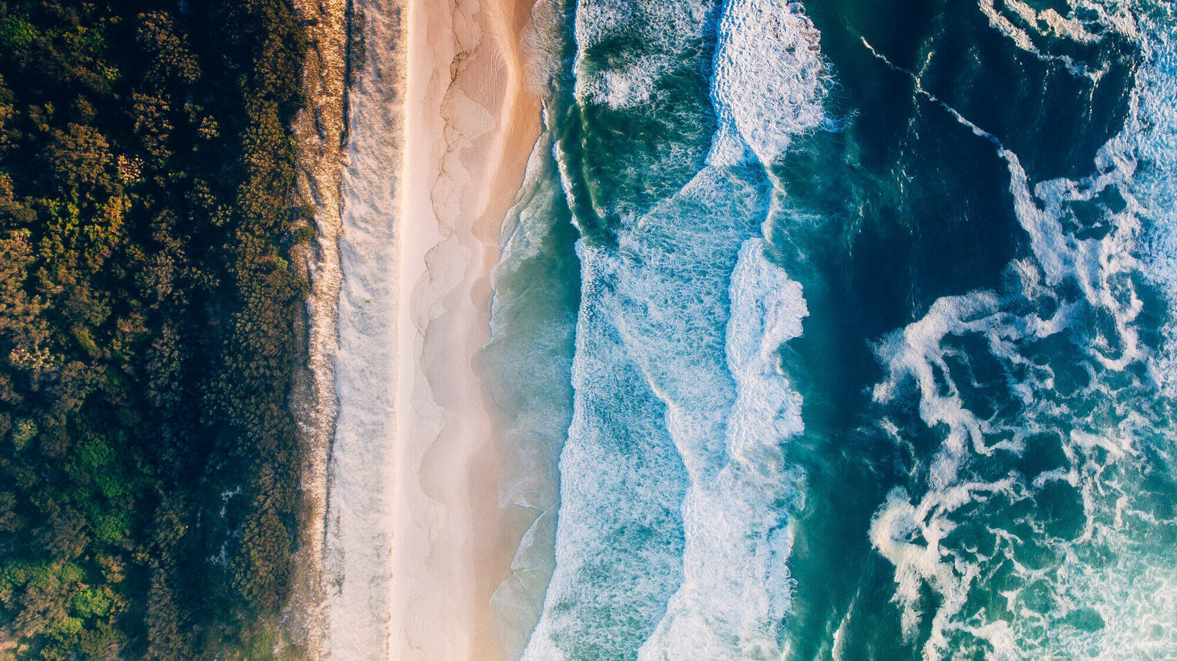
Those early years flying coral reefs, rainforest coastlines, and the Sydney Opera House taught me the craft the hard way: no obstacle sensors, no return-to-home you'd trust, just stick skills and reading the wind. I've flown every generation since: the full Phantom series, Mavic, Mavic 2 Zoom, Mavic 3, and now the Mavic 4 Pro.
A decade-plus later the tools are extraordinary and the rules are real. What hasn't changed is the eye behind the sticks.


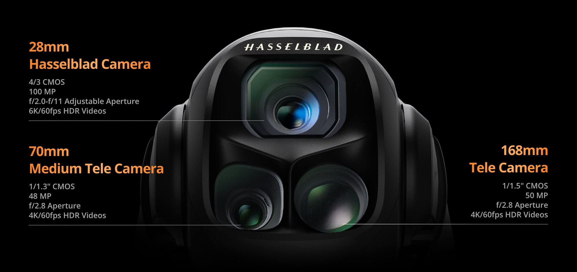
My main drone is the DJI Mavic 4 Pro with the pro controller. It shoots 6K H.265 at bitrates up to 1200 Mbps, with three cameras on one gimbal:
Three focal lengths in the air means aerial coverage that cuts like ground coverage: wide, mid, and long lens from a single flight. Full ND filter set, and everything grades to match my Canon cinema package. See the Gear page for the complete kit.
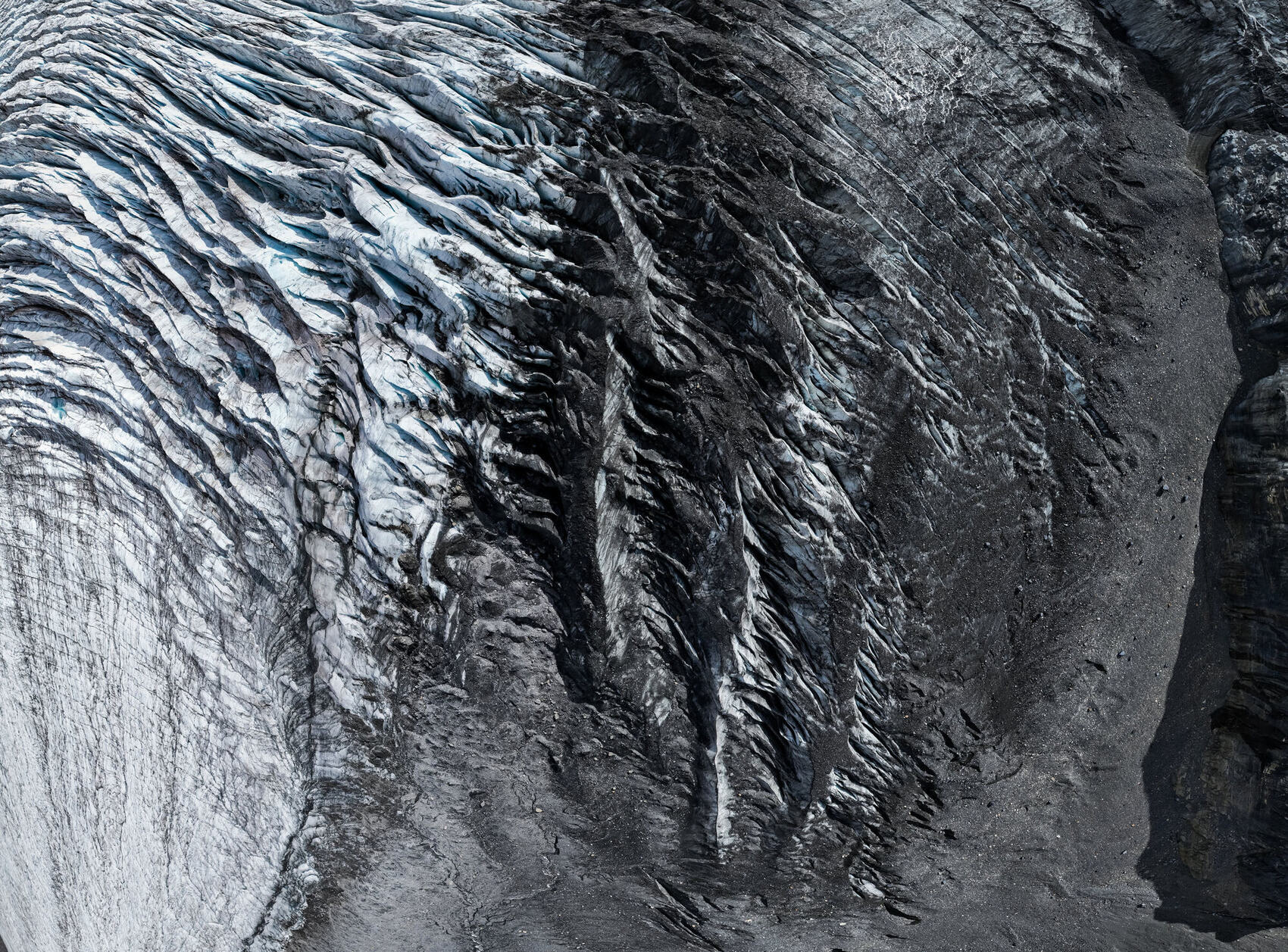
In summer 2024 I flew the Athabasca Glacier in Jasper National Park under a Parks Canada approved flight permit, in collaboration with artist Jan Kabatoff. Drone flight in national parks is prohibited without special permission, and these frames exist because we did it right: months of planning, a conservation purpose, and an approved window over the ice.
These are never-before-seen aerials of the glacier's surface: crevasse fields, meltwater channels, and textures that read as abstract art from altitude. They are being prepared as a fine art print series, a different world from my commercial work, and this is an early look at what's coming.
The project is also environmental. I flew coordinated GPS waypoints in June 2024, then flew the same coordinates at the end of August, capturing one summer of melt in matched frames that fade between the two months. That comparison film was provided to Jasper National Park, and it will join this series.
The full story of the permit, the flight, and the collaboration is on the blog.
Read the Glacier Story →
Yes, I hold a Transport Canada Basic RPAS certification and have 10+ years of flying experience. A Basic certificate covers the kind of location and landscape work most productions need; the Advanced certificate is mainly for flying directly over people, such as at events. For cinematic aerials, Basic is the right fit, and you can achieve a lot with it.
My main drone is the DJI Mavic 4 Pro with the pro controller: 6K H.265 at up to 1200 Mbps across a 28mm Hasselblad main camera, a 70mm medium tele, and a 168mm tele. I've flown DJI since the original Phantom 2, through the full Phantom series, Mavic, Mavic 2 Zoom, and Mavic 3. See the Gear page for the full kit.
In Alberta my aerial work centres on agriculture, oil and gas, real estate and development, and tourism, plus the documentary and commercial productions where I'm already the DP. If your industry isn't listed, the odds are good I've flown something like it: ask.
Both, and standalone drone jobs are very welcome. I take on dedicated aerial photography and video work, and I also add aerial coverage to commercial, documentary, and branded productions. Either way it's flown by a DP/cinematographer who understands how the aerial has to cut together with everything else.
National parks require special permission from Parks Canada, and most drone flight there is prohibited without it. I've been through that process: my Athabasca Glacier work in Jasper National Park was flown under an approved permit. If your project needs aerials somewhere access is complicated, I can tell you quickly what's realistic and what the approvals look like.