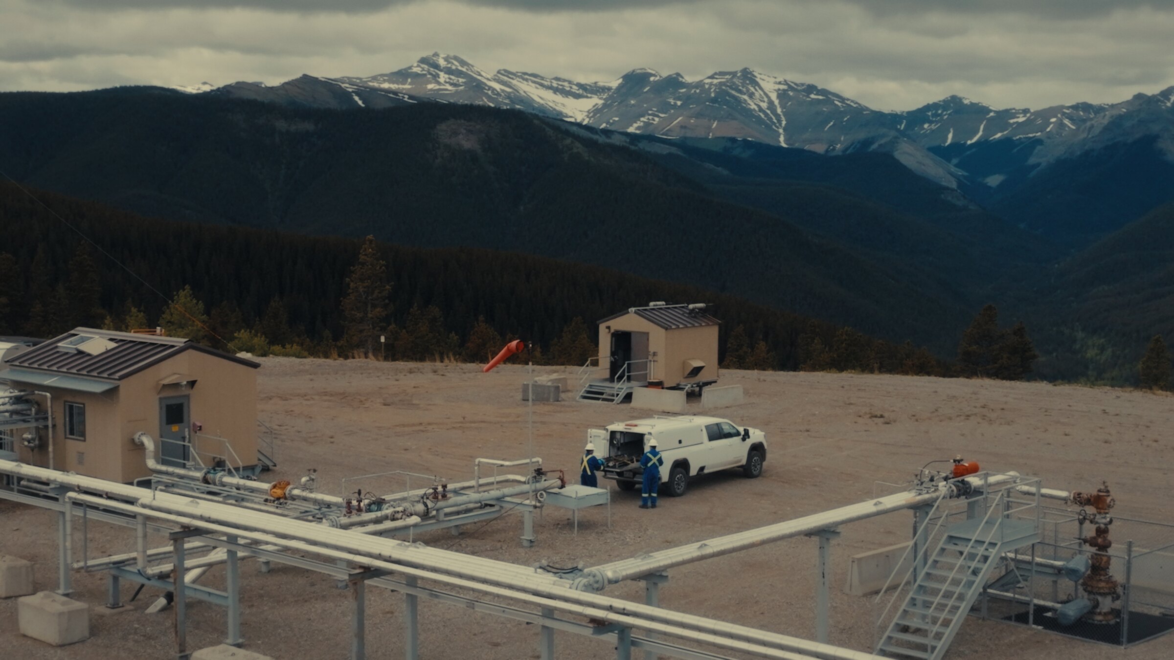
Aerial photography and video of wellsites, pipelines, facilities, construction, and field operations across Alberta. Shot in 6K and framed like a film, not a survey, by a working Director of Photography. Transport Canada Basic RPAS certified.
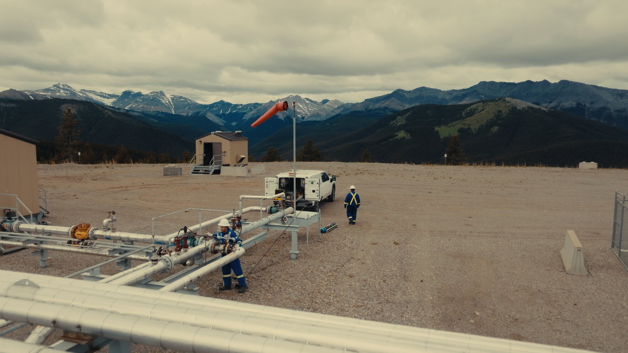
Wellsites in the foothills, pipeline rights-of-way, remote pads a helicopter would charge a fortune to reach: drone coverage is the practical way to document energy and industrial operations in Alberta. I shoot facilities, field operations, and crews at work.
Comfortable on live sites, briefed and escorted, with every flight planned and legal. Because I am a DP, the footage is framed and graded for marketing and stakeholder use, not just a technical record.
Drone Videography Guide →
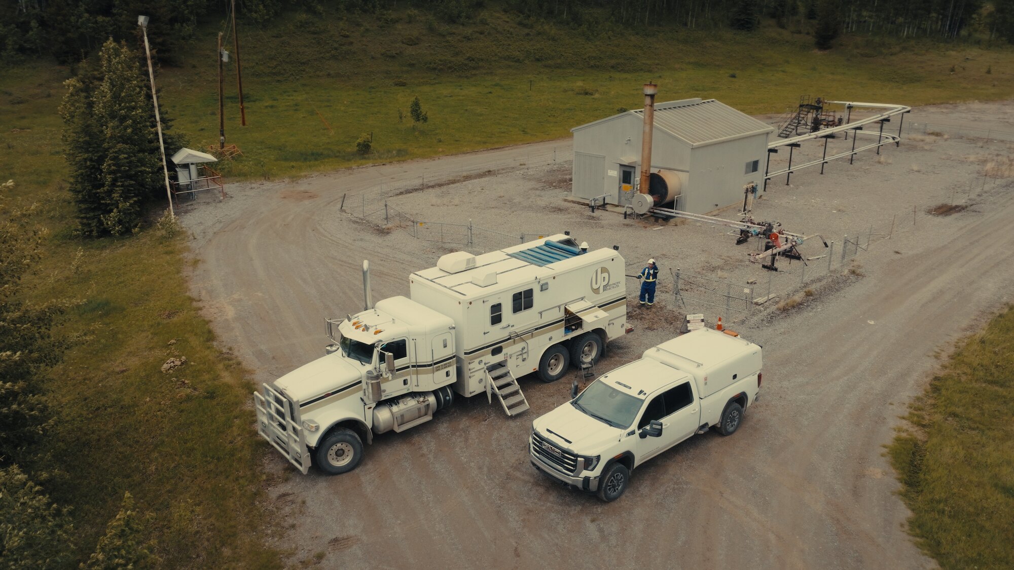
Wellsites, pads, and facilities documented from the air for marketing, planning, and stakeholder updates.
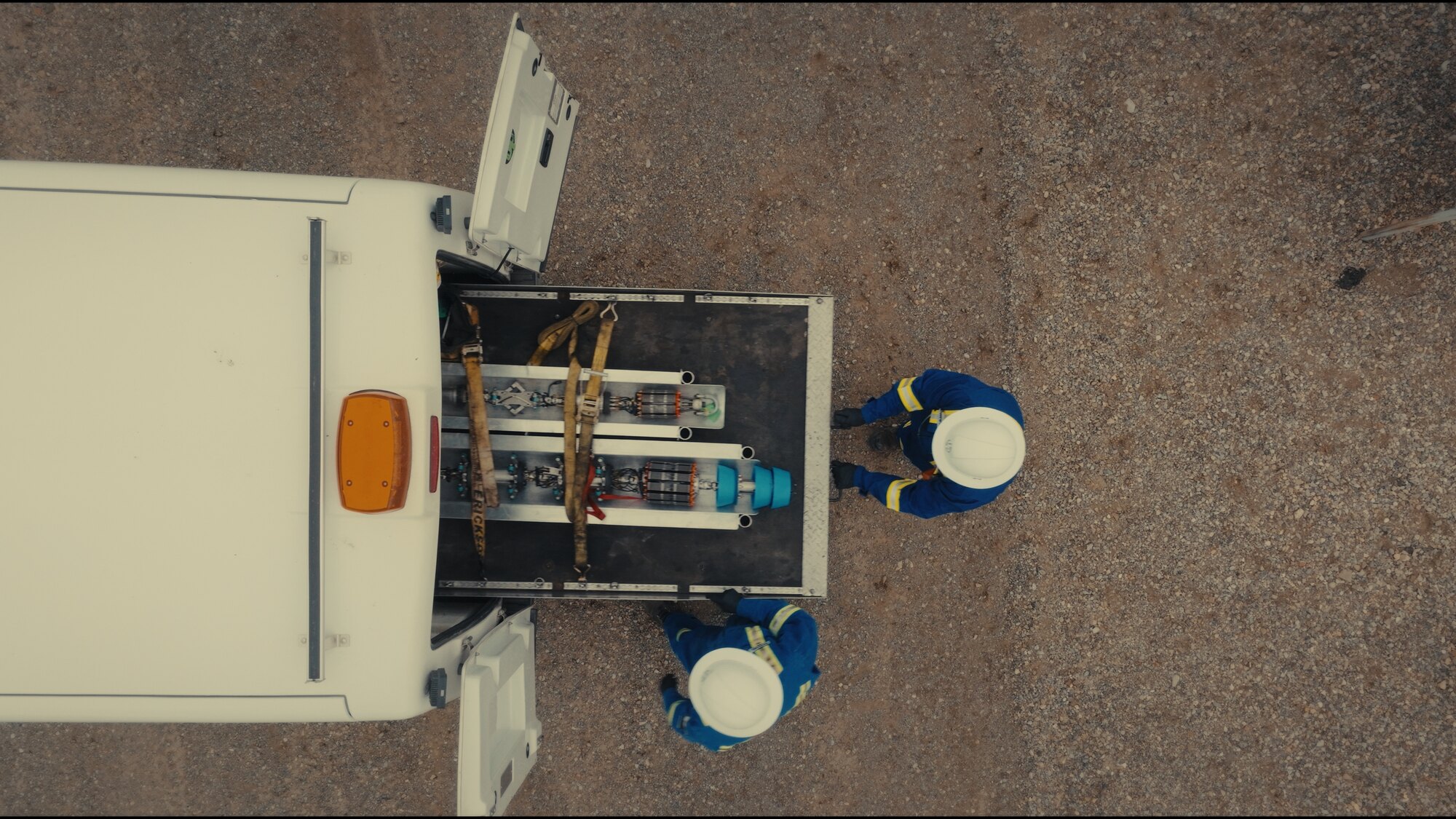
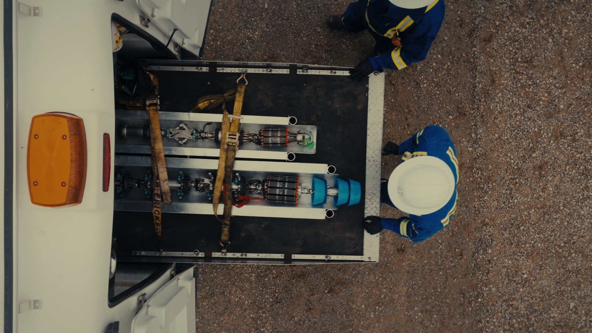
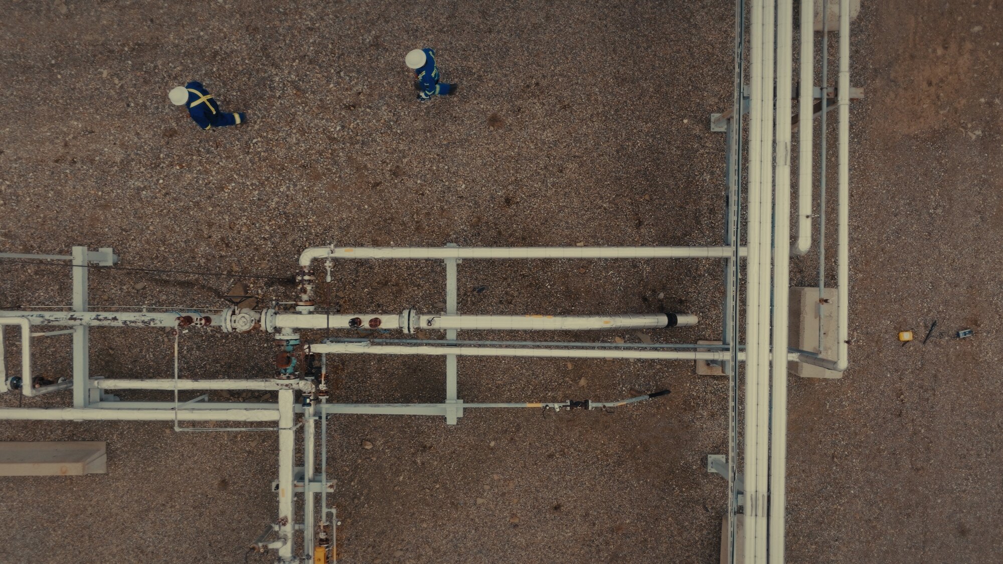
Top-down and tracking coverage of pipeline corridors, construction, and remote infrastructure across Alberta.
Films and stills for safety, recruitment, and investor content that show the operation at its best.
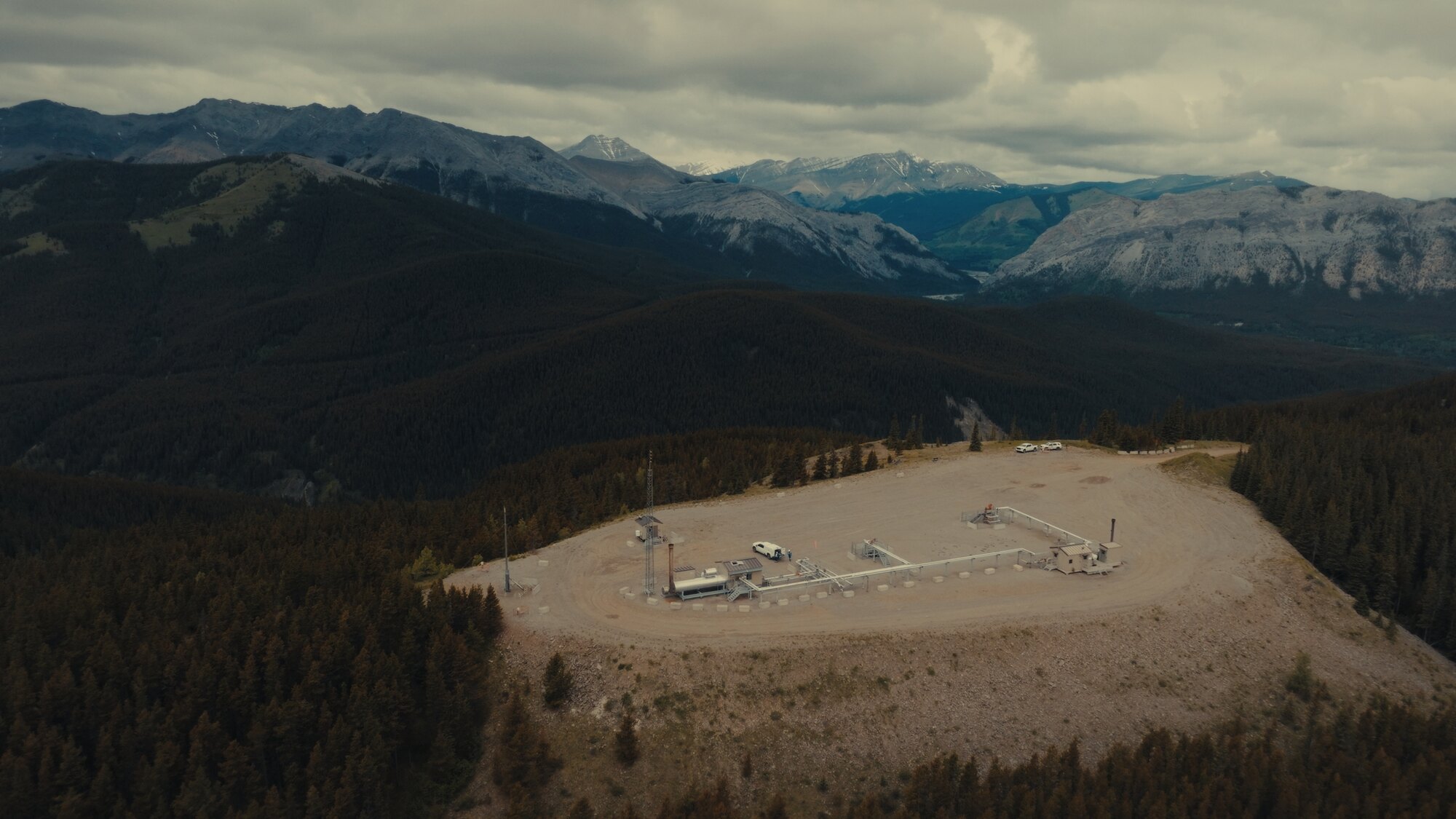
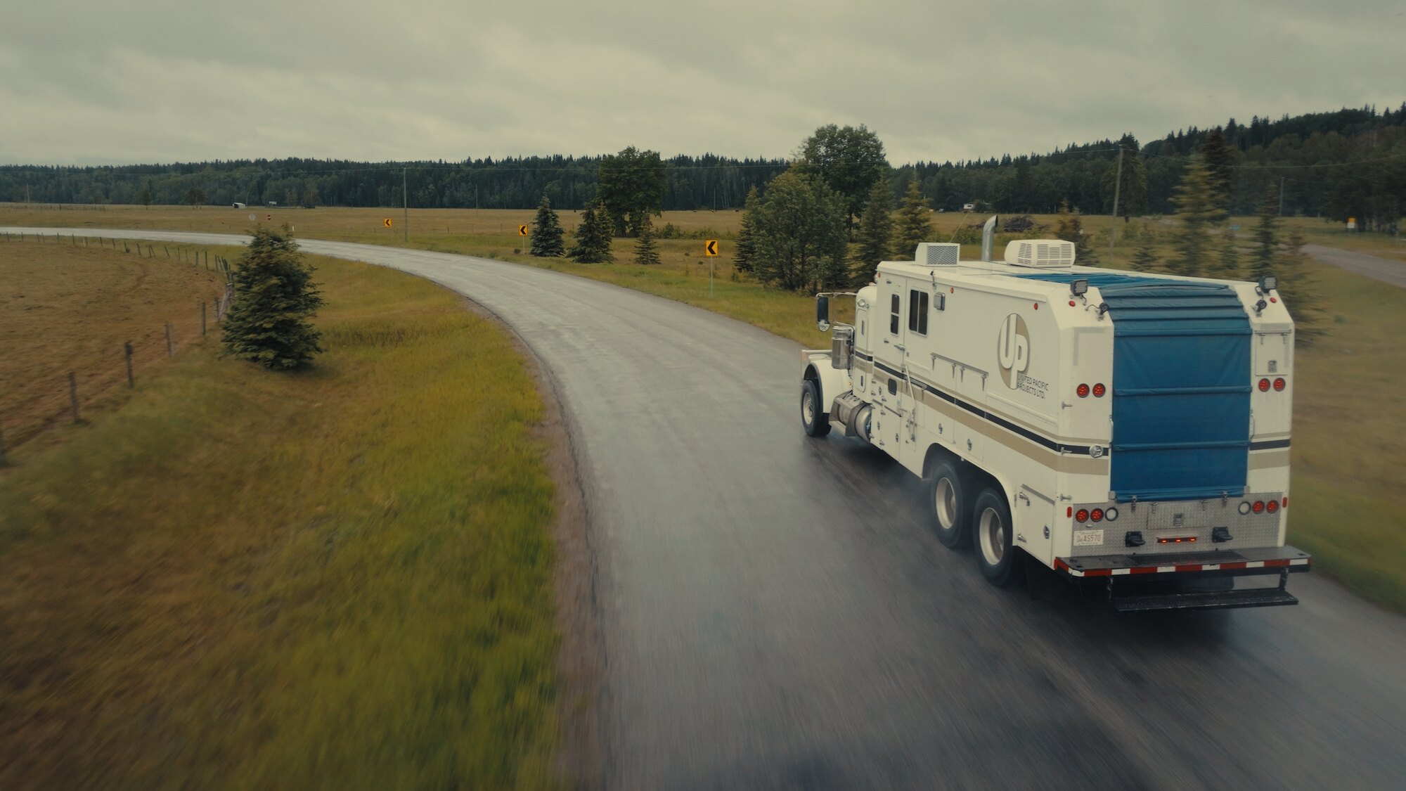
Project documentation, safety and recruitment films, investor and stakeholder content, or top-down detail of equipment in operation. I have shot field operations and facilities across Alberta, including work for United Pacific Projects near Sundre.
Construction and industrial sites fold in here too: progress capture, site overviews, and infrastructure documentation, framed the same way each visit so the sequence cuts together over time.


I am comfortable working on live industrial sites: briefed into the safety plan, escorted where required, and coordinated with the crews on the ground. Every flight is planned around the site, the airspace, and the weather before wheels-up.
A Transport Canada Basic RPAS certificate and ten-plus years of flying mean professional, low-risk aerial work for the location and infrastructure shooting most operations need, across Calgary and all of Alberta.

Yes. Wellsites, pads, facilities, pipeline rights-of-way, and field operations are a core aerial specialty across Alberta, shot for marketing, recruitment, investor, and stakeholder use, and framed like a film rather than a survey.
Yes. I work briefed into the site safety plan, escorted where required, and coordinated with the ground crew. Every flight is planned around the site, airspace, and weather, and flown under a Transport Canada Basic RPAS certificate.
Yes. I shoot repeatable progress aerials of sites and phases, framed the same way each visit so the sequence cuts together over time, plus site overviews and top-down infrastructure detail.
I hold a Transport Canada Basic RPAS certification and have flown professionally for more than ten years. Every flight is planned, legal, and shot by a working Director of Photography, not a hobbyist.
Standalone aerial shoots and full productions both welcome across Alberta.